Forecast for the Skyline Area Mountains

Brett Kobernik
Issued by Brett Kobernik for
Monday, February 11, 2019
STRONG WIND THAT IS DRIFTING SNOW is keeping the avalanche danger at CONSIDERABLE today.
HUMAN TRIGGERED AVALANCHES ARE LIKELY TODAY.
Slopes steeper than 30 degrees especially where the wind has been drifting snow are likely places to trigger an avalanche again today.
Low
Moderate
Considerable
High
Extreme
Learn how to read the forecast here
Weather and Snow
Another 5 to 8 inches of snow fell on the Skyline overnight. Northwest wind was and still is fairly strong. Temperatures are in the low single digits.
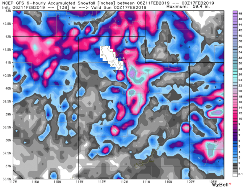
The long term looks very active with numerous storms lined up. The next one will start late Wednesday night. We could see a couple of feet of snow by the end of the weekend.
Recent Avalanches
Below is a video containing more information about the snowmobile avalanche fatality from Humpy Peak, Uintas on Saturday, Feb 9.
Ad
Additional Information
This forecast is from the U.S. Forest Service, which is solely responsible for its content. This forecast describes general avalanche conditions and local variations always occur.