FREE AVALANCHE AWARENESSS PRESENTATION:
I'll be giving a presentation on how to stay safe from avalanches in our local mountains. Topics will include:
- Rescue gear
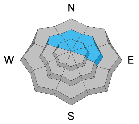
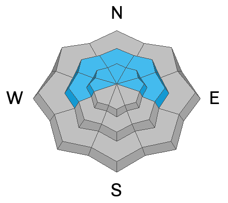
- Avalanche terrain
- Snowpack structure
- Accident reviews and what we can learn
Friday, Jan 31, 2025, 7pm
Sevier county Search and Rescue building, 801 E 300 N, Richfield, UT
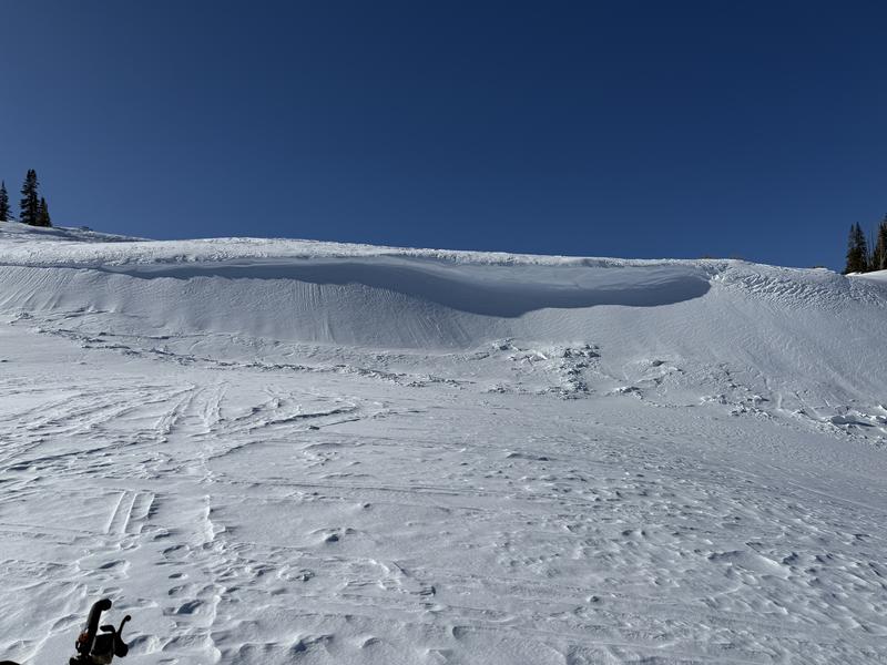
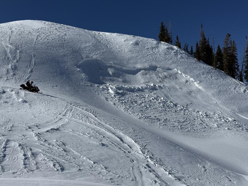
Current Conditions: Wednesday was a real nice day in the mountains with sunny skies, temperatures into the 30s, and light northwest wind. I can't say much about the riding conditions but it was nice to be in the mountains. Overnight temperatures dropped into the low 20s and teens and wind from the northwest increased slightly over the highest peaks.
Mountain Weather: It'll be another nice day today with sun and temperatures again into the 30s. Wind will be light to moderate in speed from the west northwest. Friday looks similar. It looks like it will cloud up for the weekend and we may see some snow. A storm system is going to push some moisture into Utah but it looks like the majority will stay north of us. Temperatures will be warm with this system.

 .
.