Join us at our 2nd Annual Blizzard Ball

Forecast for the Skyline Area Mountains

Brett Kobernik
Issued by Brett Kobernik on
Wednesday morning, January 24, 2024
The overall avalanche danger remains CONSIDERABLE.
Human triggered avalanches breaking deep into sugary facets at the base of the snowpack is a continued threat.
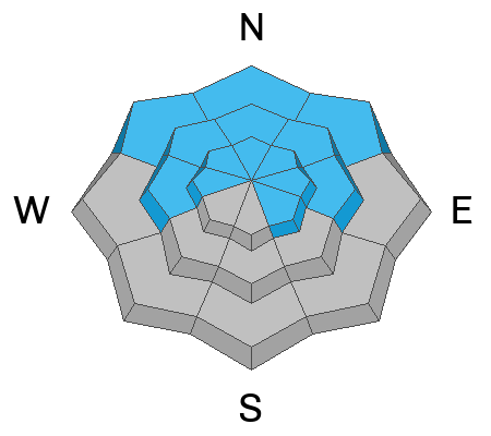
The most likely places to trigger an avalanche are on very steep mig and upper elevation slopes that face west, north and east.
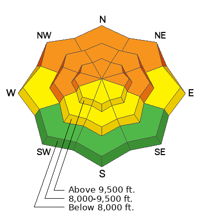
Low
Moderate
Considerable
High
Extreme
Learn how to read the forecast here
Special Announcements
MOTORIZED BACKCOUNTRY 101 AVALANCHE CLASS
One evening of online presentations, one full day out in the backcountry with instructors.
You'll learn all the basics of rescue and how to read the snow and make good decisions in avalanche terrain.
Hosted by the Utah Avalanche Center
Feb 2nd and 3rd - MORE DETAILS HERE
Weather and Snow
Current Conditions: Temperatures have been in the mid 20s over the last 24 hours and wind from the west has been light. Some areas picked up 2 inches of new snow overnight. Riding conditions are actually fairly decent still.
Mountain Weather: Temperatures will be in the mid 20s today with light wind from the west. Cloud cover is the wildcard. It looks like there will be enough low level moisture to support clouds that will shroud the mountains. If we're lucky we could see things break up a bit this afternoon. A storm will move through on Thursday bringing perhaps 3 to 6 inches of new snow. A significant ridge of high pressure starts to move in this weekend and it will bring very warm weather to our area through most of next week.
Ad
Avalanche Problem #1
Persistent Weak Layer
Type
Location
Likelihood
Size
Description
Our main concern remains the same. The threat of triggering an avalanche that breaks into loose faceted snow at the base of the snowpack is still a serious concern. The chances for triggering an avalanche decrease as the days of benign weather go on but the severity and consequences of the avalanches remains the same. All you can do is continue to avoid being on or below steep slopes until the conditions improve. This issue is going to stick around for some time to come. This is why we call it a "Persistent Weak Layer"
General Announcements
This forecast is from the U.S.D.A. Forest Service, which is solely responsible for its content. This forecast describes general avalanche conditions and local variations always occur.