MOTORIZED BACKCOUNTRY 101 AVALANCHE CLASS
One evening of online presentations, one full day out in the backcountry with instructors.
You'll learn all the basics of rescue and how to read the snow and make good decisions in avalanche terrain.
Hosted by the Utah Avalanche Center
Current Conditions: Temperatures remained steady in the mid 20s over the last 24 hours. Wind has been slight from the south and southeast. There's quite a bit of dense soft snow around which makes for nice riding conditions. The problem is there are still lots of places where snow machines are punching through into the sugary base. Not so much so around the Fairview/Miller Flat zone where the snowpack is a bit deeper and stronger. The central and southern Skyline remains very shallow and shallow snow is weak snow, hence, you punch through and trench a lot.
Mountain Weather: Expect cloudy skies with the chance for light snowfall but no accumulation. Temperatures will be in the mid 20s and we'll have light wind from the south. There might be a partial break in the clouds Wednesday then another round of light snow on Thursday that might produce an inch or two. It looks like the weather clears up for the weekend.
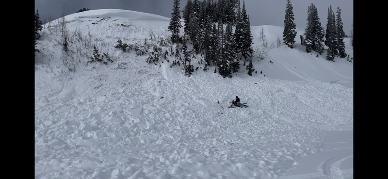
There are two newer avalanches that are noteworthy. The first one was in Logger's Fork of Manti Canyon. It released sometime since about Saturday. It's possible it was natural but more likely that it was triggered remotely by some snowbikers that were passing by.
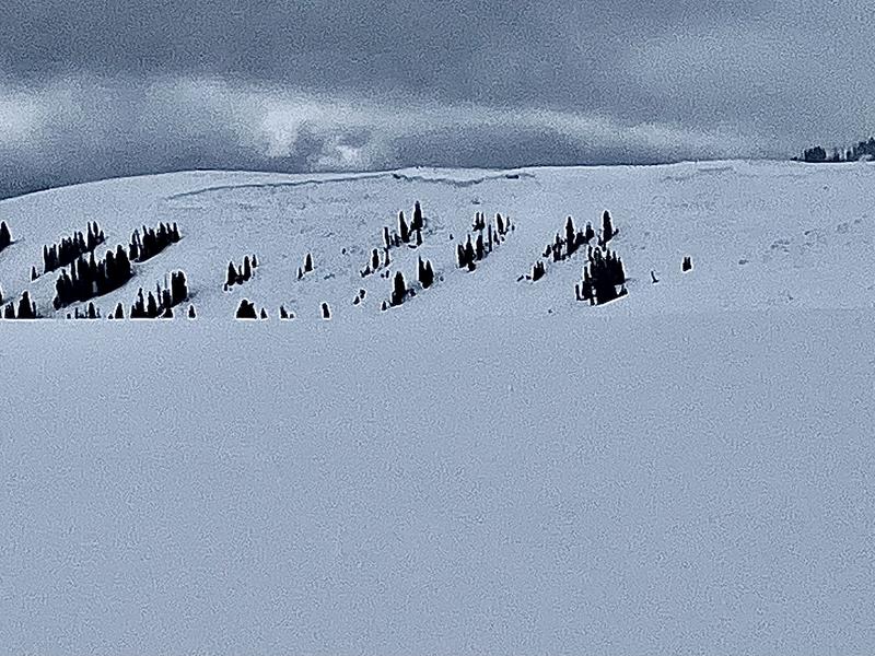
MORE DETAILSThe next one was in Spring Creek south of the kite launch parking lot at the Skyline Summit. This one definitely was not there when I came through on Friday. This one may have been natural but, again, it was more likely triggered by snowmachines.
MORE DETAILS The reason that these slides probably did not release naturally is there was no weather event to act as a trigger. Generally you need some wind that drifts snow or some additional new snow to overload a slope and act as a trigger. We haven't had any of this since last Wednesday. Photo: Chris Magerl


