Happy New Year from all of us at the UAC. Thanks for another year of continued support.
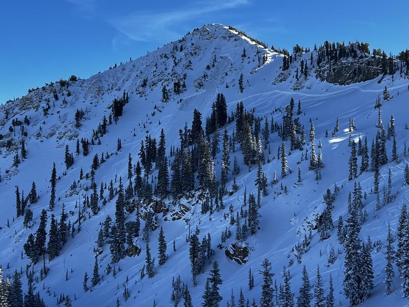
On Wednesday, a backcountry skier slipped while skinning the ridge from Cardiff Pass toward Cardiff Peak. The slip led to an uncontrolled slide-for-life, and he slid to the north over the cliffbands into Cardiff Bowl. With the help of SL County SAR, WBR, DPS, Unified Fire, Life Flight, and Powderbird, the injured man was air-evac'd to the valley. While this accident was not avalanche-related, it is a significant event and a telling of the Christmas Eve rain crust's impact on conditions in the backcountry.
Under mostly cloudy skies, temperatures at 11,000' have cooled into the 30s °F, down from yesterday's highs in the 40s. The wind is blowing out of the SW and is currently 10–20 mph with gusts into the 30s along the highest peaks.
Snowfall begins early this morning with snow levels starting around 7,000 feet before quickly rising to 8,500 feet by late morning and remaining there through the day. Expect a sloppy rain/snow mix in the mid-canyons, with potential for freezing rain at canyon mouths. The wind will remain out of the SW, blowing 15–25 mph with gusts in the 30s and 40s along upper elevation ridges. By early evening, expect 2 to 6 inches of dense, heavy snow above 8,000', with up to 8 inches in high-elevation areas favored by moist SW flow.
After a break in precipitation this evening, a cold front moves in tonight. This brings another round of moisture, snow levels drop to near 7000 feet, and snow densities decrease.
New essay from UAC Forecaster Drew Hardesty: Paying Attention
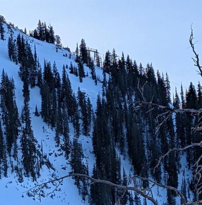
Yesterday, reports of an avalanche in Hidden Canyon just outside of the Brighton area boundary came in to the UAC. The avalanche failed on a Northwest-facing slope around 10,350 feet. Exact details of the avalanche type, size and trigger remain unclear but looks to have failed up to 2 feet deep and 40 to 80 feet wide. The terrain characteristics match likely areas for triggering an avalanche that fails on a persistent weak layer of snow near the ground ie. steep, rocky, upper elevation.