Forecast for the Salt Lake Area Mountains

Evelyn Lees
Issued by Evelyn Lees for
Thursday, April 4, 2019
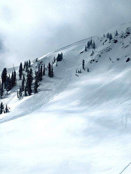
The avalanche danger is MODERATE for triggering wet snow avalanches on almost all slopes. While shallow, these wet loose and wet slab avalanches can entrain snow as they move downhill, resulting in deep debris piles.
The avalanche danger is MODERATE for triggering a lingering wind drift on steep, upper elevation northerly facing slopes slopes.
Low
Moderate
Considerable
High
Extreme
Learn how to read the forecast here
Special Announcements
When the forecasting ends, the UAC’s work keeps going strong. Summer is a busy time for the UAC. During the summer we are working hard on our fall and winter planning; putting together the Fall Fundraiser and the Utah Snow and Avalanche Workshop; updating our awareness and education programs; this summer we will be finishing up the website redesign project. Your donation shows you’re invested in this community all year round! You can still be part of the UAC’s success in 2019.
Weather and Snow
Yesterday’s storm totals came in at 5 to 8” of dense snow at the upper elevations, with the rain/snow line remaining at about 7,500’ throughout the storm. It was typical spring conditions, with “dry” snow lasting only until late morning, when massive greenhousing (thinning clouds resulted in the snow heating on all aspects) turned the snow into mashed potatoes on all but high northerly facing. Almost all slopes will be crusted this morning before they heat once again.
Under partly cloudy skies, temperatures remained warm overnight, and are in the mid 20s at 10,000’, and low 30s on the Park City side around the 8,000’ level. The southwesterly winds are very light, almost all stations averaging 10 mph with gusts less than 15 mph.
It’s going to be a hot one today...highs today will be near 50 at 8,000’ and 40 at 10,000’. It will be a mix of sunny to partly cloudy, with high thin clouds in the mix. The southwesterly winds are forecast to remain light, though the highest peaks could gust in the 20s at times.
Recent Avalanches
Early in the day, sensitive soft slabs were triggered on all aspects, with the largest on the wind drifted, upper elevation northerly facing slopes, big enough to bury a person.
Then, like flipping a switch, thinning clouds allowed the snow heat on all aspects, and shallow wet loose sluffs and wet slabs were easy to trigger, running far and fast on the slick crusts beneath. Only averaging 4 to 8” deep, they still created impressive debris piles against trees. Two larger naturals occurred in the Y Couloir and Coal Pit.
A new snow slide, shallow but wide, on Claytons, high northeast. TieDyeTwins photo.
Y Couloir, Greg Gagne photo
Ad
Avalanche Problem #1
Wet Snow
Type
Location
Likelihood
Size
Description
With a combination of thin clouds and very warm temperatures, shallow wet loose sluffs and slabs of new snow will again be easy to trigger on steep slopes of all almost aspects and elevation. These will average 4 to 8” deep, and run further and faster than expected on the slick ice crusts beneath. Entraining snow as they move downhill, even a shallow slide can stack up deep debris in terrain traps or against trees.
Look for clues - as soon as the crusts soften and the snow becomes damp, wet or soggy where you are or you can trigger small wet sluffs, it’s a sign of unstable wet snow. It’s time to move to low angle slopes and avoid terrain traps such as gullies and drainages. At the mid to lower elevation, also be alert if snow snow is punchy, and you can break deeply into it, especially in shallow or rocky spots, and again avoid steep slopes. Snow conditions can change quickly with aspect and elevation.
Greg Gagne: a 17 second video of 4 feet of debris from a 6 inch deep slide. Check out the whole observation here.
Avalanche Problem #2
Normal Caution
Type
Location
Likelihood
Size
Description
Wind Blown snow - If you are searching for drier snow on up the upper elevation, shady slopes, expect a few lingering wind drifts along the higher ridge lines that could still be triggered. Signs of wind drifts include cracking of the snow and looking for smooth, rounded drifts that may be denser than the snow around them. A long running slide triggered in dry snow will change into a wet snow slide as it moves down slope, making it harder to escape if you’re caught and having a much denser, harder debris pile.
Glide cracks will remain active through the spring, certainly in the standard areas of Broads, Stairs, and Mill B South of BCC, upper Porter Fork (Raymond Slabs), and other areas where the glide cracks are opening. The resulting debris piles are unsurvivable. Avoidance is key - minimize or completely avoid travel below the large cracks.
Cornices will be more sensitive today with a new load and heating. Again, minimize your travel time below overhanging cornices. When traveling on ridge lines, stay well back from the edges of the cornices.
Additional Information
If you don’t like crusts and mashed potatoes, no worries - more storms are on the way. The first small storm should produce several inches of snow Friday night/Saturday morning, with a colder, larger storm around next Wednesday. We all love looking at these U of U products.
General Announcements
This information does not apply to developed ski areas or highways where avalanche control is normally done. This forecast is from the U.S.D.A. Forest Service, which is solely responsible for its content. This forecast describes general avalanche conditions and local variations always occur.