We are still living in a snow globe. We're about to be engulfed by yet another slow, cold, moisture-laden Pacific storm.
As of 5am, snow totals are 2-4" in the Cottonwoods and along the Park City ridgeline. The Ogden mountains are already up to 8-12"; the Provo mountains a trace to 2".
Mountain temperatures are in the upper teens to mid-20s. Winds are light to moderate from the southwest.
For today, we'll see heavy snowfall with generally light winds from the west and then northwest. Temps will be in the upper teens and low 20s. I expect 10-18" today...with snowfall amounts through Wednesday reaching 35-45" (2-2.5" SWE) in favored areas. While I don't see wind being too much of an issue today, they are forecast to increase this evening. Temps drop to the single digits overnight.
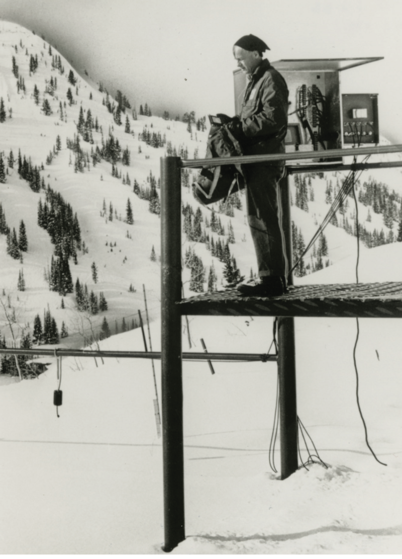
The Alta Guard has been keeping records since the winter of 1944/1945. Last month (March), they recorded 179" of snow (16.54" snow water equivalent), narrowly missing the all-time high March snowfall in 1964 when they recorded 183". Currently, the Alta Guard has recorded 596" for this winter (November 1- current). The all time record for maximum snowfall Nov-April was winter 94/95 of 745". See the numbers for yourself
HERE.
Ed LaChapelle at the Alta Guard snow study site, photo courtesy University of Utah Marriott library, special collections
No reports from of avalanche activity from the backcountry yesterday.
Check out all observations
HERE.