Forecast for the Salt Lake Area Mountains

Tuesday morning, April 28, 2026
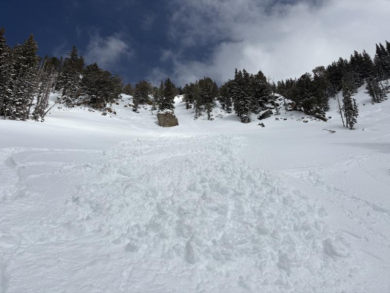
Bottom Line: Avalanche teams and backcountry riders continue to trigger numerous soft slab avalanches up to 18" deep. While conditions should slowly trend toward more stability in the coming days, caution is still recommended in steep, previously wind-drifted terrain. As we move into a short stretch of clearer weather, any dry snow issues may transition into more wet snow instabilities.
Remember that snow coverage is thin and rocky on all but the northerly aspects. Continue to practice safe travel protocols: beacon checks, one at a time, and pay attention.
Regular avalanche forecasts have ended. We will issue intermittent updates and publish observations through May 1st. You can submit observations and avalanches HERE, and check out the most recent observations and avalanches HERE.
During the spring, there are typically three different avalanche problems:
- Wet Snow: Wet loose avalanches, wet slab avalanches, roof slides, and glide avalanches
- New Snow: New storm snow instabilities; soft slab avalanches and loose dry avalanches
- Wind Drifted Snow: Wind slabs; soft or hard drifts of wind-blown snow