Our last regular forecast is Sunday, April 17th. Intermittent forecasts will be issued through April based upon weather conditions which affect avalanche danger.
A weak storm has produced just an inch or two as of 4am. The Ogden area mountains have already picked up 5-7" (0.60"SWE). Provo perhaps a trace. We should see a few more inches this morning before precipitation turns more showery in the mid to late morning hours. Temperatures are in the 20s and just below freezing in the basins and trailheads. Winds are from the west-southwest, blowing15-20mph with gusts to 35. The highest elevations have gusts to 50.
Whatever pans out for this current system will add to the mid week snowfall - numbers below.
Upper Cottonwoods: 20-24" (1.38"-1.70" SWE) *snow-water-equivalent
Park City ridgeline: 12-24" (1-2.0" SWE): higher amounts along the northern end of the PC ridge
Ogden mountains: 20-26" (1.64" SWE)
Provo mountains: 6-10"(0.6" SWE)
Skies will transition from obscured to overcast to eventually partly cloudy by mid/late afternoon. Winds will be west-southwesterly, blowing 15mph with gusts to 25. Higher wind speeds are expected north of I-80. Temperatures will be in the mid-20s up high, the mid-30s down low. Another storm arrives later tomorrow with more wind and less snow. The long term forecast looks classic spring - whiplashing temperatures and occasional periods of wind and snow.
Skiing and riding conditions were excellent yesterday morning, although greenhousing took its toll by the afternoon. Coverage in the upper elevations sits at 80-110" on the ground (60-70" along the south end of the PC ridge) but take caution that the late March warm-up burned many southerly aspects to dirt. Traumatic injury is possible with the thinly veiled stumps and rocks.
Ski area avalanche teams reported triggering shallow soft slabs of both wind blown snow and within the storm snow. Ski cuts and explosives were equally effective. Wind drifts were most prominent on north and east facing aspects and were described as "Kinda tricky stuff that would let you get out on it a ways before doing its thing." Stronger south winds in the afternoon led to a few shallow naturals along the 11,000' level.
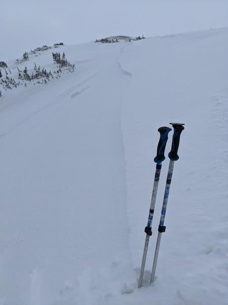
In the backcountry, a skier triggered a 12" deep and 70' wide wind slab in the Birthday Chutes of White Pine. This is on a steep north facing slope at 10,800', susceptible to gusty south winds. (pc:Chester)
Cornices built over the week have also been described as sensitive along the ridgelines.