Forecast for the Salt Lake Area Mountains

Trent Meisenheimer
Issued by Trent Meisenheimer for
Sunday, April 14, 2019
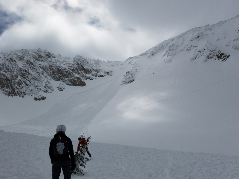
The avalanche danger is MODERATE for wind drifted snow at all upper elevations and at mid elevation northeast through easterly facing terrain. Strong southerly winds will create dangerous slabs of snow across specific terrain features and human triggered avalanches are possible. Rain is possible today at the low to mid elevations and this could create a MODERATE danger for wet snow avalanches.
I will be updating the Salt Lake City, Ogden and Provo forecast Monday morning (April 15th) by 7:00 am.
Low
Moderate
Considerable
High
Extreme
Learn how to read the forecast here
Special Announcements
Daily early morning avalanche forecasts will end today, Sunday, April 14. However, with storms this week we will issue an early morning forecast on Monday (April 15th) and on Friday, Saturday, and Sunday of Easter weekend (April 19-21). Throughout the rest of April, we will issue intermittent updates with any snowfall or other significant weather events, and we will continue posting observations.

Drew Hardesty just penned another wonderful blog piece, Meditations on Skiing the No-Fall Zone.
Our final podcast for the season has been released HERE. Low Danger - A Story in 5 Parts. Thanks much to our producer Benjamin Bombard and our sponsors Arva, Prival, and 2nd Tracks Sports.
Weather and Snow
The southwest winds ramped up ahead of a series of storms that will impact the mountains for the next few days. 11,000' anemometers are currently spinning 25-30 mph gusting into the 40's and 50's. 10,000' winds are blowing 15-20 mph gusting into the 20's and 30's. Temperatures dropped overnight into the low to mid 20's °F across the Wasatch range allowing the sunny aspects and lower elevations to re-freeze.
Today: As the storm moves in from the Pacific the southerly winds are forecasted to increase today and into tonight with speeds of 30-40 mph gusting into the 70's at 11,000'. Clouds are moving in from Nevada as I type this and will arrive shortly after sunrise with a chance for a couple of inches of snow by the end of today. The temperatures will be warm and the rain snow line will be 8,000'-9,000' feet in elevation.
Monday: Strong southerly winds will continue in the morning hours before a small storm rolls through midday allowing for a better shot of snow. Monday evening the winds return ahead of a much better storm on Tuesday.
Tuesday: Snow flurries. By the end of the day on Wednesday we could see 10"-20" of new snow.
Recent Avalanches
Yesterday, a group of backcountry skiers triggered a large storm snow avalanche in upper Big Willow Cirque. The avalanche was 400' wide and up to 4' feet deep in places. One rider was caught and carried, but was able to self arrest on the bed surface and was not buried. They reported a lost pole and a broken ski (Picture below: Kemp). You can read their observation HERE. As the strong sun came out yesterday afternoon many observers noted a natural wet loose avalanche cycle on the sunny aspects.
Ad
Avalanche Problem #1
Wind Drifted Snow
Type
Location
Likelihood
Size
Description
Strong southerly winds picked up last night around 9:00 pm and continue to blow with speeds of 15-25 mph gusting into the 30's and 40's at upper elevations. This will certainly create a fresh batch of new wind drifts and slabs across the mid and upper elevations. Winds typically load snow on leeward slopes, gullies, bowls, and mid slope break-overs. Shooting cracks along with thick upside down snow are red flags and shouldn't be ignored. Look for and avoid any steep slope that looks like it's been effected from the wind. Human triggered avalanches are possible.
Avalanche Problem #2
Wet Snow
Type
Location
Likelihood
Size
Description
With strong winds and clouds arriving just after sunrise I don't expect the sun to be an issue today. The wind and cloud cover should be enough to keep any wet activity at bay. The wild card will be the rain. The rain/snow line is forecasted to be around 8,000'-9,000' feet in elevation today and into this evening. Anytime we have rain falling on dry snow it instantly spikes the avalanche danger and wet loose sluffs will be instantaneous. Seek out lower angled terrain and avoid runout zones if for some reason we see heavy rain on snow today.
A separate but related avalanche problem, is glide avalanches. We are including them under this category to simplify things. When they happen is mostly unpredictable. Several occurred early this week during rain and warm temperatures. Where they happen is generally predictable because there is often a huge crack in the snowpack. Common places to find glide avalanches are places with rock slabs or a smooth ground surface like Broads Fork, Stairs Gulch, and Mill B South, and upper Raymond Slabs in upper Porter Fork. Simply avoid being under these places or any slope with a visible glide crack.
General Announcements
This information does not apply to developed ski areas or highways where avalanche control is normally done. This forecast is from the U.S.D.A. Forest Service, which is solely responsible for its content. This forecast describes general avalanche conditions and local variations always occur.