Forecast for the Salt Lake Area Mountains

Trent Meisenheimer
Issued by Trent Meisenheimer for
Saturday, March 9, 2024
The avalanche danger is LOW on slopes facing northwest through east where normal caution is advised. Here, we have generally safe avalanche conditions, and backcountry travelers should watch for unstable snow on isolated terrain features. Remember that the mountains are a wild environment, and mountain travel is inherently dangerous.
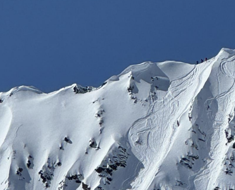
On sunny slopes, the avalanche danger will quickly rise to MODERATE as the strong March sun heats the snow surface, eventually making it unstable. Don't overstay your welcome on steep sunlit slopes today.
Low
Moderate
Considerable
High
Extreme
Learn how to read the forecast here
Special Announcements
As we transition to a generally stable snowpack and many are starting to pursue bigger objectives, be sure to read Drew Hardesty's latest blog, "Is it REALLY Low Danger?"
Weather and Snow
Under clear skies, the mountain temperatures range from single digits in the valley bottoms to the mid-20s °F across the upper elevations. Winds are from the east-north-east, blowing 5-10 mph with gusts barely reaching 20 mph across most upper-elevation terrain. However, at 11,000' wind sites did show a bump in northeast winds overnight, with speeds averaging 20-30 mph for a couple of hours.
Today, we will see plenty of strong March sunshine. Temperatures will warm into the mid 30s to low 40s °F. The wind is forecast to change directions at some point today and blow from the south as a weak cold front is expected overnight. This cold front will bring some thin high clouds later this afternoon along with an increase in southerly wind. No new snow is expected. A stronger storm is slated for Tuesday.
Recent Avalanches
Yesterday, many big lines were tested and ridden without avalanches being triggered. Most people found the new snow to sluff easily (dry-loose avalanche) in steep terrain. One group triggered a wind slab avalanche that was 12-14 inches deep, 45 feet wide, and ran 600 feet downhill, fanning out in the apron below. This was on a steep upper-elevation northeast-facing slope at 10,600' in elevation (see photo below).
Ad
Avalanche Problem #1
Normal Caution
Type
Location
Likelihood
Size
Description
Do not let LOW avalanche danger cloud your judgment today. Dry-loose avalanches or soft slabs of wind-drifted snow should be on your radar. Remember, small avalanches in extreme terrain can have extreme consequences. Mountain travel is inherently dangerous, so be sure to keep your guard up and look for signs of unstable snow throughout your travels. Be willing to adjust or change your plans based on the snow conditions in front of you.
Heads up: Overnight we had a bump in north-east wind speeds for just a couple hours at the upper elevations (10,000' to 11,000'). I am unsure if this created some new soft slabs of wind-drifted snow.
Cornices are large. Be sure to give these giants a wide margin of error. Cornices tend to surprise people as they break much further back than expected.
Avalanche Problem #2
Wet Snow
Type
Location
Likelihood
Size
Description
It's March. Strong sunshine and warming temperatures will heat the sunny slopes causing them to become unstable at some point today. The first signs of wet snow are usually roller balls cascading down the slopes. If enough warming continues, it will break the bonds between the grains, causing the damp/wet snow surface to become unstable and slide downhill as a wet-loose avalanche.
Do not overstay your welcome in steep sunlit terrain today. Plan your exits well and ensure you're not on or under avalanche paths during the day's heat.
General Announcements
This information does not apply to developed ski areas or highways where avalanche control is normally done. This forecast is from the U.S.D.A. Forest Service, which is solely responsible for its content. This forecast describes general avalanche conditions and local variations always occur.