Donate to the 2024 Spring Campaign to help rebuild the UAC website.

Forecast for the Salt Lake Area Mountains

Dave Kelly
Issued by Dave Kelly for
Saturday, March 25, 2023
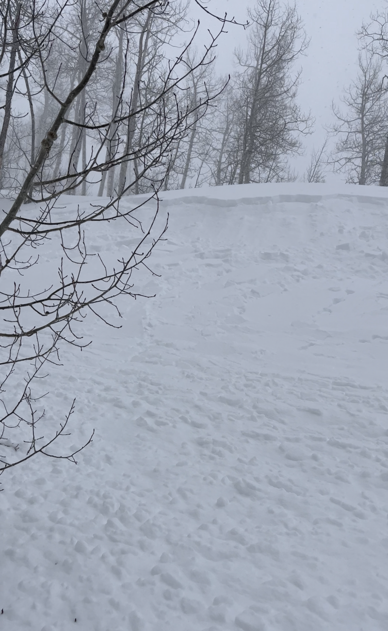
We have had 2-5' of snow since Monday. This new snow combined with winds picking up from a westerly direction has created an unstable snowpack and the avalanche danger is HIGH on upper elevation slopes where wind-drifted and new snow soft slab avalanches 1-3' deep and 100-150' wide are likely. Travel in avalanche terrain is NOT RECOMMENDED. Mid and low-elevation slopes have a CONSIDERABLE avalanche danger where careful snowpack evaluation and terrain selection will lead you directly to safer terrain and soft snow. Avoid steep slopes if you see signs of cracking or collapsing in the new snow.

There is plenty of great riding to be had on slopes under 30 degrees and not below or attached to steep terrain.
Low
Moderate
Considerable
High
Extreme
Learn how to read the forecast here
Special Announcements
We are in the process of finalizing a report about the March 9th avalanche fatality in the Uintas. Thank you for your patience, and we will publish the final report in coming days.

Thank you to everyone who donated to our Spring Campaign. We appreciate your support and look forward to creating new tools to help you stay safe in the backcountry.
Weather and Snow
Yesterday was one for the record books with 4-5" an hour snowfall rates and a widespread direct-action avalanche cycle reported from backcountry riders and highway and ski area operations.

This morning, under obscured skies it is lightly snowing, trailhead temperatures are in the low teens ˚F and the highest ridgelines are below 0 ˚F. Winds are have picked up and are blowing from the southwest 15 gusting to 30 MPH at the 9,000' ridgelines and west-northwest 45 gusting to 70MPH at the highest ridgelines. Overnight 3-6" of new snow fell. Storm totals range from 30-54" of snow with 2-5" of water weight.

For today, we are looking at overcast skies with 4-6" of new snow forecasted and up to 8-10" in areas favored by lake effect. Temperatures will be 15-18 ˚F with winds blowing west-northwest 15 gusting to 25 MPH at the 9,000' ridgelines and 25 gusting to 65 MPH at the 11,000' ridgelines. Wind speeds will drop through the day and there is a chance of increased snowfall rates with the possibility of lightning this afternoon.

The relatively warm surface (36-39 ˚F) of the Great Salt Lake and the cold air of the incoming storm can enhance snowfall as the warm air rises off the lake surface. Wind direction will control which way the fire hose gets pointed. The U of U weather page has an experimental forecast for Lake Effect HERE and is worth checking out especially in the spring and the fall when the lake is warmer and the chances of Lake Effect are higher.

Our partners at the National Weather Service have issued a Winter Storm Warning in effect until noon today.
Recent Avalanches
Yesterday backcountry travelers reported sensitive soft slabs of new snow related to the 4-5" snowfall rates that really ramped up around noon. There was a widespread natural cycle in both Cottonwood Canyons and I would imagine the highest elevation terrain was reactive during that time period. There are lots of observations of snowfall and the subsequent direct-action avalanche cycle HERE.

The observations from A. Patterson in Porter Fork and MS in Butler Fork give examples of the shallow soft slab avalanche activity people observed during periods of increased snowfall yesterday.
Photo (MS)
Ad
Avalanche Problem #1
Wind Drifted Snow
Type
Location
Likelihood
Size
Description
Westerly winds continue to move snow around and form drifts that may avalanche 1-3' deep and 100-150' wide. These slabs will be most pronounced on leeward-facing slopes and in some areas above treeline you may see cross-loaded slopes. New snow will make it difficult to identify signs of wind-drifting.

CORNICES are a good sign that the slope below is or has been loaded by new snow. They are HUGE. Limit your exposure to ridgelines near cornices, and slopes below cornices. A cornice fall could trigger a much larger slab of wind-drifted snow below.
Avalanche Problem #2
New Snow
Type
Location
Likelihood
Size
Description
The amount of new snow during this storm increases your chances of triggering a soft slab avalanche 1-2' deep and failing on a density change in the top layers of the snowpack. Yesterday UAC Forecaster Drew found propagation within the new snow and a rain crust at lower elevations where they noted audible collapses most likely occurring on this crust/facet combination now buried under 2' or more of new snow at lower elevations.

When the snowfall rates are greater than 1" per hour, avalanches will be easier to trigger, and more likely to act as a cohesive slab. Signs of instability like cracking, and collapsing mean it's time to let the new snow settle out before committing to steep terrain.
Additional Information
Forecaster's Corner:
What does Acceptable Risk even mean?
Through an avalanche accident earlier this winter, Drew has been able to put together a clear example of what he believes defines acceptable risk. Read more on this HERE.
General Announcements
This information does not apply to developed ski areas or highways where avalanche control is normally done. This forecast is from the U.S.D.A. Forest Service, which is solely responsible for its content. This forecast describes general avalanche conditions and local variations always occur.