UDOT PLANNED AVALANCHE CLOSURES!!

Forecast for the Salt Lake Area Mountains

Nikki Champion
Issued by Nikki Champion for
Wednesday, March 22, 2023
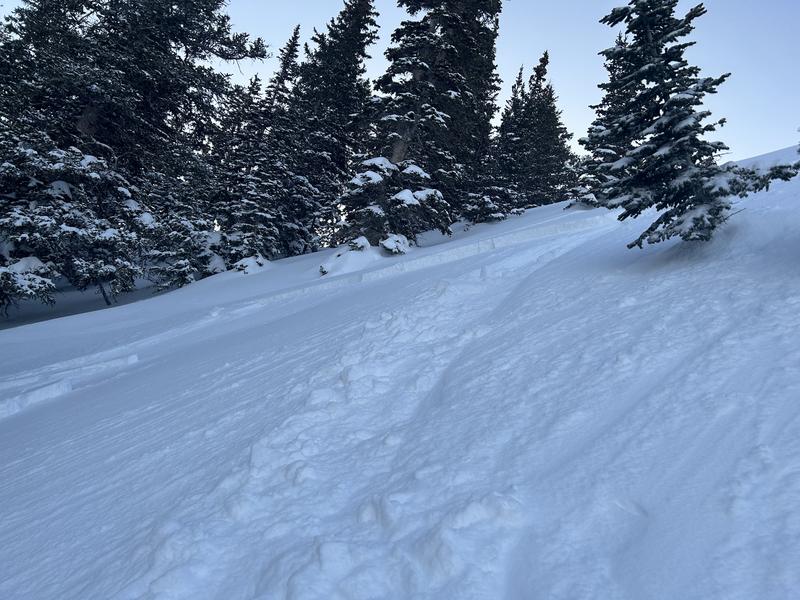
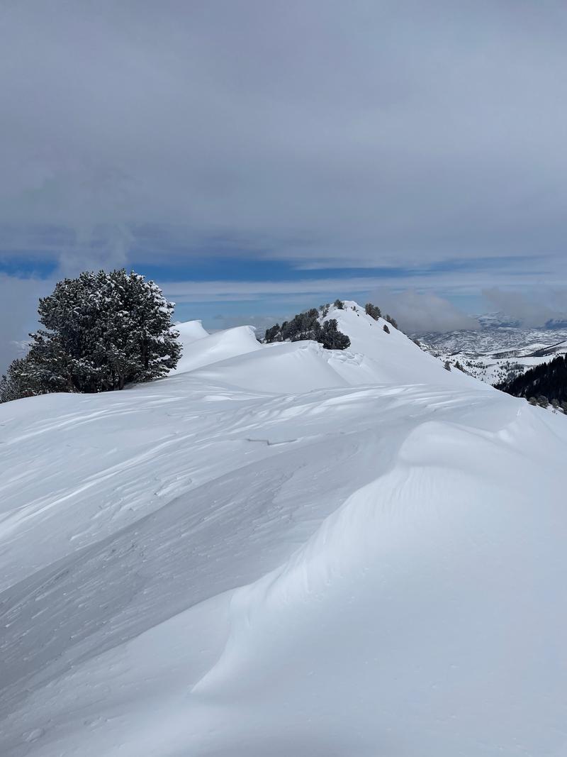
The avalanche danger is CONSIDERABLE at all upper and mid-elevation slopes where periods of heavy snowfall and strong winds will create dangerous avalanche conditions today. The high winds will continue to form unstable slabs of wind-drifted snow at all mid and upper elevations. Both loose snow and slab avalanches may be possible within the different layers of new snow from the past few days.

During any periods of higher snowfall rates (greater than 1" per hour), avalanches will be easier to trigger. If the snowfall rates spike the avalanche danger is going to spike as well. Watch for any signs of instability such as cracking and sluffing.
Low
Moderate
Considerable
High
Extreme
Learn how to read the forecast here
Special Announcements
Please consider donating to the spring campaign to help our team implement innovative tools to better provide you with the information you rely on.
Weather and Snow
This morning, skies are overcast, it is lightly to moderately snowing, and temperatures are in the mid to low 20s F. Overnight the mountains received 5-7" of snow. Overnight winds increased and transitioned from southeasterly to southwesterly, at the 9000' ridgelines winds at speeds of 10-20 mph with gusts into the mid-40s mph. At the 11,000' ridgelines, winds are gusting close to 70 mph.
Today, there will be periods of heavy snowfall and graupel, with peak snowfall rates above 2" an hour. The mountains could receive 4-8" of new snow, with 0.2-0.6" of water before 5 PM. Southwest winds will remain elevated, blowing 15-25 mph with gusts up to 35 mph at 9000' ridgelines. At the 11,000' ridgelines, we could see gusts up to 50 mph. Though there may not be a true break in the storms, by Thursday morning we could see snow totals of 18-30", and water totals between 1.25-2.10".
A quick-hitting cold front, with additional snowfall, arrives Friday with temperatures plummeting to near 0°F. Unsettled through the weekend with a break for a few days early next week.
Recent Avalanches
Yesterday, we had multiple reports of easily triggered shallow soft slabs within the new snow. Most of these were approx 6-10" deep, failing on the new snow/old snow interface. While most of these seemed to fail outside the wind zone, Mark did find one interesting avalanche on a Northeast Aspect near Bountiful Peak that initially failed directly below a cornice, and then stepped down deeper, approx 18", into the snowpack on a layer of graupel. While we are not seeing widespread activity on that buried graupel layer, this avalanche is a good heads-up, that avalanches that fail in heavily loaded wind-loaded areas may break a bit deeper than just the new snow/old snow interface.
A shallow, skier-triggered avalanche in Scottie's bowl. Failed 10" deep, and approx 30' wide. This avalanche is a good representation of the primary types of new snow avalanches in the backcountry yesterday. Find the full write up from Scotties HERE.
Ad
Avalanche Problem #1
Wind Drifted Snow
Type
Location
Likelihood
Size
Description
The bump in overnight winds plus soft snow available for transport will continue to form soft slabs of wind-drifted snow up to 20" deep. With the winds slated to remain elevated throughout the day, these slabs will only continue to grow, and become more cohesive. These slabs will be most pronounced on lee-ward-facing slopes, but such high winds can load any aspect because winds swirl and change direction as they pass through the mountains.
With new snow throughout the day slopes with any signs of wind-drifted snow, such as texture and pillow-shaped features, may become more challenging to identify. For that reason, I would approach steep terrain feature that could allow for drifting snow to accumulate as if triggering a fresh soft slab is possible.

CORNICES are not to be messed with. Limit your exposure to ridgelines near cornices, and slopes below cornices. A cornice fall could trigger a larger slab of wind-drifted snow below.
Large cornices along the Millcreek Ridgeline
Avalanche Problem #2
New Snow
Type
Location
Likelihood
Size
Description
As the snowfall totals increase, the avalanche danger is going to increase as well. As of 5 AM, roughly 5-7" inches of new snow has fallen overnight and the front is predicted to have multiple periods of high snowfall rates, above 2" an hour. Across the range, the new snow has a variety of excellent bed surfaces, and new snow/old snow interfaces to slide on from the last week. Out of the wind zone you can expect to find sensitive soft slabs of new snow and fast, long-running sluffs on all aspects.
The type of avalanche, slab avalanche versus loose snow avalanche, will come down to how quickly the new snow bonds, versus how quickly the snow is falling from the sky. When the snowfall rates are higher, generally meaning greater than 1" per hour, avalanches will be easier to trigger, and more likely to become a cohesive slab. Pay attention to changing weather and increased snowfall rates.
Additional Information
Forecaster's Corner:
What does Acceptable Risk even mean?
Through an avalanche accident earlier this winter, Drew has been able to put together a clear example of what he believes defines acceptable risk. Read more on this HERE.
General Announcements
This information does not apply to developed ski areas or highways where avalanche control is normally done. This forecast is from the U.S.D.A. Forest Service, which is solely responsible for its content. This forecast describes general avalanche conditions and local variations always occur.