UDOT PLANNED AVALANCHE CLOSURES!!

Forecast for the Salt Lake Area Mountains

Nikki Champion
Issued by Nikki Champion for
Tuesday, February 16, 2021
DANGEROUS AVALANCHE CONDITIONS EXIST. AVOID ALL AVALANCHE TERRAIN
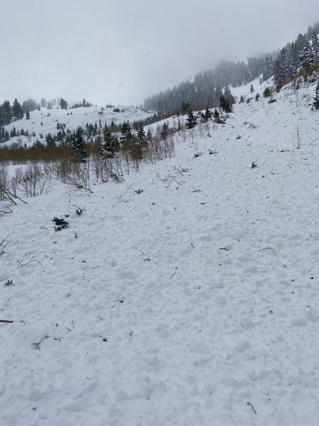
Today the avalanche danger is EXTREME at mid and upper elevations. The avalanche danger is HIGH at low elevations. Avoid being under or near any steep slope. Even very small slopes can bury a person.
Heavy snowfall, strong westerly winds, and a weak faceted snowpack have created very dangerous avalanche conditions. Natural and human triggered avalanches are certain. Even unusual avalanches are possible in atypical terrain on atypical aspects and elevations.
Anybody going into or near the mountains today should avoid being near or under any steep slope - this includes skiing, snowshoeing, running, sledding, dog walking, etc.
Low
Moderate
Considerable
High
Extreme
Learn how to read the forecast here
Avalanche Warning
WARNING ISSUED
THE AVALANCHE DANGER RANGES FROM HIGH TO EXTREME ACROSS THE WARNING AREA
IN EFFECT FROM 6 AM MST THIS MORNING TO 6 AM MST WEDNESDAY
FOR THE MOUNTAINS OF MUCH OF THE STATE OF UTAH, INCLUDING THE WASATCH RANGE...BEAR RIVER RANGE...UINTA MOUNTAINS...MANTI-SKYLINE...THE FISH LAKE REGION…PAHVANTS…TUSHARS…AND THE CEDAR CITY AREA MOUNTAINS.
VERY DANGEROUS AVALANCHE CONDITIONS EXIST. NATURAL AND HUMAN TRIGGERED AVALANCHES ARE CERTAIN OVER THE NEXT SEVERAL DAYS. STAY OFF OF AND OUT FROM UNDER SLOPES STEEPER THAN 30 DEGREES
Special Announcements
9:00AM - S.R. 210 (Little Cottonwood Canyon) is closed to ALL travel UDOT avalanche control work. No estimated time of opening for the public at this time.

The final report about the Wilson Glade avalanche in Millcreek Canyon has been published. Our deepest condolences go out to the friends and families involved in this tragic accident.
NOTE: FEB 1-8th was one of the deadlier weeks on record with 15 backcountry fatalities in the US.
Weather and Snow
This morning, it is snowing heavily in the mountains, up to 2" of snow per hour. Mountain temperatures are in the mid-teens F. Westerly winds increased since yesterday and are averaging 15-30 mph and gusting 60-80 mph at upper elevations. The new snowfall and high winds are rapidly loading our snowpack.
Today, the heavy snowfall and high winds will continue. Temperatures will stay in the mid-teens F, and westerly winds will average 20-30 mph and gust up to 55 mph at the upper elevations. Snowfall rates should stay consistent, averaging 1" an hour and peaking near 2" an hour. The Cottonwoods should pick up another 9-16" of snow before 5 PM this evening.
For this storm, the heavy snowfall and wind should continue into Wednesday morning before tapering off into dry weather Thursday. We can expect a total 2-3 feet of snow by Wednesday morning.

Storm totals with the last 24 hours:
  • Little Cottonwood Canyon : 11 - 19" (1.06" - 1.31" H2O)
  • Big Cottonwood Canyon : 10 - 17" (.78" - 1.47" H2O)
  • Park City Ridgeline : 7 - 11" (.62" - 1.1" H2O)
Recent Avalanches
Yesterday, there was one report of a naturally triggered avalanche in Mineral Fork of Big Cottonwood Canyon. This avalanche occurred in the afternoon as the winds increased, on the East facing terrain and ran all the way to the road at the base of Mineral Fork.
Overnight, a large natural avalanche cycle occurred within Little Cottonwood Canyon with many slides crossing the road.
Photo of the East Mineral Debris Pile (J. Diamond)
Ad
Avalanche Problem #1
Persistent Weak Layer
Type
Location
Likelihood
Size
Description
Overnight this storm added a huge load of snow and wind blown snow to a very weak and faceted snowpack. Avalanches will be big and destrcutive, 3-5 feet deep and hundreds of feet wide or larger.
The most suspect terrain continues to be the west through north through southeast facing aspects at mid and upper elevations. HOWEVER, with so much snowfall and wind - upper elevation south-facing terrain and low elevation north-facing terrain will also produce avalanches that break on buried persistent weak layers.
Keep in mind:
  • Avalanches can be triggered from a distance or below.
  • Any fresh wind slab or new snow avalanche may step down several feet into older snow.
With such a large and rapid load of snow, many slopes slopes that have not been producing avalanches previously may do so today.
Avalanche Problem #2
Wind Drifted Snow
Type
Location
Likelihood
Size
Description
With heavy snowfall and strong westerly winds, new slabs of wind drifted snow will continue to form and produce avalanches today. Some of these avalanches can be triggered by people, some of these avalanches will occur on their own. High winds can load a slope 10 times faster than snowfall on its own. This combination of loading from winds and snowfall will make any wind-loaded slope very dangerous to travel near or under.
Even though winds are blowing from the west, slopes at any aspect at mid and upper elevations can be affected. Look for signs of recent wind loading such as smooth, rounded, pillow shaped deposits of snow.

Additionally, these elevated winds will increase the size of cornices on many ridgelines, making them more sensitive. Stay well back from - and avoid travel below - corniced ridges.
Avalanche Problem #3
New Snow
Type
Location
Likelihood
Size
Description
Avalanches of new snow will occur on all aspects and elevations even in places not affected by recent strong winds.
During higher rates of snowfall (greater than1 an inch per hour), avalanches will be easier to trigger. Periods of snowfall exceeding 1 inch per hour are likely to continue throughout the day.
These new snow avalanches can impact anybody going into or near the mountains today including skiing, snowshoeing, running, dog walking, sledding, etc.

Avoid traveling near or below steep slopes as these new snow avalanches can run fast and far. Extreme caution is required.
General Announcements
Please visit this website with information about Responsible Winter Recreation by the Utah Office of Outdoor Recreation.

This information does not apply to developed ski areas or highways where avalanche control is normally done. This forecast is from the U.S.D.A. Forest Service, which is solely responsible for its content. This forecast describes general avalanche conditions and local variations always occur.