Forecast for the Salt Lake Area Mountains

Nikki Champion
Issued by Nikki Champion for
Saturday, February 10, 2024
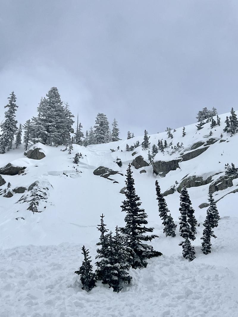
Today, the avalanche danger remains CONSIDERABLE at the upper and mid-elevation slopes facing west through north and southeast. Deadly slab avalanches may fail in a persistent weak layer and be up to 6' deep. On all other slopes, the avalanche danger is MODERATE, with the main concern being soft slabs of storm snow or wind-drifted snow 2-3' deep. In areas without a cohesive slab, you may trigger long-running loose snow sluffs in steep terrain.
These conditions are perfect for an avalanche accident. The storm has departed, but the danger has not. With clearing skies, backcountry riders will continue to find dangerous avalanche conditions. Most avalanche accidents and fatalities occur after peak instability. Avalanche terrain can be easily avoided today, as there are excellent riding conditions on lower-angled slopes in all directions.
Low
Moderate
Considerable
High
Extreme
Learn how to read the forecast here
Special Announcements
There is a NEW beacon training park in Park City near the Park City Day School. We encourage you to check it out and practice your avalanche rescue skills.
Weather and Snow
This morning, there are a few clouds in the sky, and temperatures range in the single digits F. Winds have shifted more northwesterly and are primarily light, with a few overnight gusts near 20 mph. Light snowfall persisted overnight, adding an additional inch as of 5 AM.
Approximate storm totals since February 1:
❄️ Upper Cottonwoods: 4.5' - 6' of snow / 5" - 6.6" of water equivalent (SWE)
❄️ Park City Ridgeline: 4' of snow / 4" of SWE
Skiing and riding conditions are excellent at all elevations across the range.
Today, Northern Utah is experiencing drier and more stable conditions, though there might be a few stray showers this morning. Skies will be partly cloudy, with temperatures climbing into the low 20s F and northerly winds remaining light, gusting to 25 mph along the highest ridgetops. By Sunday, high pressure will bring dry weather, starting a warming trend for the week ahead.

There might be some unsettled weather later this week, but it's more likely to snow again by next Monday.
Recent Avalanches
No backcountry avalanches were reported on Friday, but we continue to receive reports of avalanches from the avalanche cycle from earlier this week.
One avalanche to take note of, on Thursday, in Bells Canyon at 9,700 feet and facing northwest, a soft slab avalanche was triggered by a skier unintentionally. The skier triggered the avalanche while navigating a rocky rollover, causing the slope to break below the rocks behind them. The avalanche reported to be both loud and fast moving, stopping approximately 100-150 feet down where the terrain flattened out. The crown depth varied from 6 inches to 2.5 feet, this avalanche broke on facets.
Bells Canyon Avalanche failing in facets (NB)
Control work from resorts during the storm got avalanches failing within the storm snow and also avalanches failing in the deeply-buried persistent weak layer, up to 6' deep.

Be sure to make reading reported avalanches and observations part of your backcountry planning.
Ad
Avalanche Problem #1
Persistent Weak Layer
Type
Location
Likelihood
Size
Description
Several feet of snow, containing over 6 inches of water, should eventually help heal our persistent weak layer (PWL) problem. However, for now, it has only complicated things. Whereas on January 31st, you could find a 1-2 foot slab on top of the facets (the PWL) in thinner snowpack areas, there is now an additional 2-3 feet of snow on top of the PWL, and even more in the wind-loaded areas. UAC forecaster Dave Kelly perfectly describes the situation in his field day on Thursday in Days Fork (video below).
"The weak layer is no less strong than it was a week ago, but the slab over the top is much thicker. The bottom line is that the difference is more weight. The avalanches will be bigger. Give this weak layer time."
We continue to trend in the right direction, but with avalanches still occurring both in the backcountry and at ski resorts due to that persistent weak layer (PWL) over the past 2 days, caution remains essential, and I am not ready to let my guard down.
Avalanche Problem #2
New Snow
Type
Location
Likelihood
Size
Description
Although storm snow instabilities should be settling out today, you can still trigger an avalanche 2-3 feet deep, failing within the storm snow, especially on slopes that were wind-loaded from strong winds from the south on Tuesday and Wednesday. These slabs of wind-drifted snow will be buried underneath recent snowfall, making signs of instability less obvious. You will need to probe down and look for a harder/denser slab below the snow surface.
In areas without a cohesive slab, you may trigger long-running loose snow sluffs in steep terrain. While these avalanches will be small, they can be consequential if swept through steep terrain.
General Announcements
This information does not apply to developed ski areas or highways where avalanche control is normally done. This forecast is from the U.S.D.A. Forest Service, which is solely responsible for its content. This forecast describes general avalanche conditions and local variations always occur.