Forecast for the Salt Lake Area Mountains

Mark Staples
Issued by Mark Staples for
Wednesday, November 16, 2022
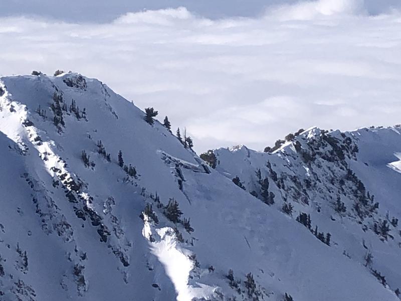
Today the avalanche danger is LOW on all aspects and elevations. You can certainly find trouble, and even when the likelihood of triggering an avalanche goes down, it never goes to zero. That is why we carry avalanche rescue gear, train how to use it, and only expose one person at a time to avalanche terrain.
Low
Moderate
Considerable
High
Extreme
Learn how to read the forecast here
Special Announcements
Most ski areas are now closed to uphill travel as they open or prepare to open for winter operations. Resort uphill travel policies can be found HERE.
Alta Ski Area has closed the Summer Road and access to Catherine's for lift area operations. Grizzly Gulch remains open.
Weather and Snow
More cold weather with mountain temperatures mostly in the low teens F this morning. Winds increased some this morning blowing 15-20 mph gusting to 30 mph from the North.
Today temperatures will struggle to break into the 20s F under mostly sunny skies. Winds will ease this morning and blow 5-10 mph during the middle of the day but may increase some late this afternoon.
Looking ahead there are no major storms in the forecast. A few flurries are possible Friday morning and again Tuesday night next week.

Snow depths in the Central Wasatch Range are generally 3-4 feet above 9000 feet in elevation. Snow surface conditions vary a lot due to wind, sun, and cold temperatures. Northerly facing slopes hold soft snow that is still great powder because it is faceting and weakening. With such cold temperatures and low sun angles (meaning minimal solar heat), the fledgling snowpack is weakening and faceting to some degree on all slopes.
Recent Avalanches
Glide cracks have been spotted in several areas including Mineral Fork, West Desolation Ridge, Broads Fork, and Stairs Gulch. These giant cracks in the snow indicate downhill movement of the entire snowpack and often occur on smooth grassy slopes or smooth rock slabs. They typically appear in the spring but may be happening now due to residual heat in the ground. The danger is that the snowpack can spontaneously avalanche at these cracks. The best thing to do is to avoid being underneath them.
Ad
Avalanche Problem #1
Normal Caution
Type
Location
Likelihood
Size
Description
Now is a great time to get out while the danger is low. Coverage is very good for this time of year. However, it is still early in the season, and buried rocks, logs, and other obstacles are still a major threat. You may find some loose dry sluffing of surface snow in steep, north-facing terrain. You may also find some shallow slabs of wind drifted snow that could avalanche. And, as mentioned above, glide cracks have been spotted in several areas. If you see these big cracks in the snow, avoid being underneath them.
Take the normal precautions which always includes looking for and avoiding freshly drifted snow. Also, only expose one person at a time to avalanche terrain so that the rest of your group is available to perform a rescue if an avalanche happens. Be prepared with your rescue gear through your own training or in a class.
General Announcements

This information does not apply to developed ski areas or highways where avalanche control is normally done. This forecast is from the U.S.D.A. Forest Service, which is solely responsible for its content. This forecast describes general avalanche conditions and local variations always occur.