Alta Ski Area has closed the Summer Road and access to Catherine's for lift area operations. Grizzly Gulch remains open.
Most areas are now closed to uphill travel in order to prepare for winter operations. Resort uphill travel policies can be found
HERE.
Under clear skies temperatures are in the single digits F at most stations. Northerly winds in the mid teens gusting to 20s mph at the 9000' ridgelines and in the 20s gusting to 30s mph at the 11,000' ridgelines. No new snow overnight.
For today clear skies, temperatures 18-22 F. Winds at the 9,000' ridgelines are north-northwest 15 gusting to 25 mph and at the 11,000' ridgelines 15 gusting to 40 mph decreasing through the day. There is a slight chance of some cloud cover and a period of flurries in the Cottonwood Canyons. The Ogden and Provo area mountains have slightly warmer temperatures in the upper single digits.
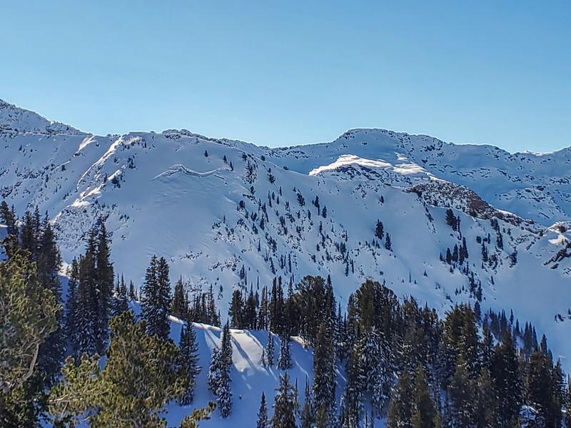
With the forecast for the next week we will continue to see conditions that allow for development of surface hoar and near surface faceting. These crystals make for great skiing when we're not getting any new snow and are often called recycled powder. The problem is when they get buried or capped by the next storm. In the Central Wasatch surface hoar is often destroyed by sun or wind prior to being buried while the near surface facets can linger longer.
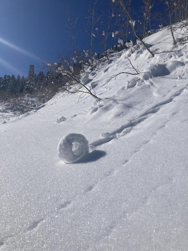
The photo below sums up the current state of the snowpack surface. We can see settlement around the aspen trees, roller balls from the pre-solstice solar warming, and a faceted snow surface.
Photo (Antenucci)
There were reports of gliding snow in the upper reaches of Mineral Fork, West Deso Ridge, Broads, and Stairs. Gliding snow is un-predicable and generally something we see in the spring with a more homogenous snowpack. Avoid being on or traveling underneath these slopes. They are unpredictable and it's worth giving gliding snow a wider berth.
Mineral Glide Crack ( Steve)
Long time observer Bill Nalli submitted two
avalanche observations from the White Pine area. These avalanches are most likely from the tail end of the big November storm.
White Pine East Pass (Nalli)
Read the most recent observations from the backcountry HERE.
If you see anything we should know about, please submit your own observations HERE.