Forecast for the Salt Lake Area Mountains

Dave Kelly
Issued by Dave Kelly for
Monday, October 24, 2022
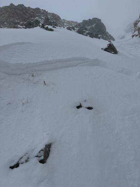
With the recent snow this weekend, there have already been reports of avalanches involving backcountry travelers.
Now that we have snow available for transport keep an eye on leeward aspects or places that look to be wind loaded. It won't take much for the wind to transport 1-2 feet of new snow into nearly double that on wind-loaded aspects.
Stay tuned. We'll be watching each storm and publishing intermittent updates.
Low
Moderate
Considerable
High
Extreme
Learn how to read the forecast here
Weather and Snow
This past weekend's storm delivered 14-26" of snow and 1.55-3.2" of water in the upper Cottonwood Canyons. The Park City Ridgeline reported 9-15" snow, Provo area 8-12" of snow and up to 1.5" of water, while the Ogden area mountains checked in with 4"of new snow.

The next burst of snow is forecast to arrive Tuesday afternoon with early reports calling for an additional 5" of snow, followed up by storms through Thursday.
Recent Avalanches
Welcome back winter! This classic Utah storm came in right side up and finished with some graupel and lake effect snow. As the westerly winds picked up Sunday afternoon there was a flurry of human and natural triggered avalanches reported. Many of these slides were on steep north-northeast facing aspects above 9500', 8-16" deep.
Check out our observations page for the latest updates from around Utah. Please keep these observations coming.
Observers noted some density changes in the top 6" of new snow that may be deeper in wind loaded areas.
Skier Triggered- Baldy Northeast facing, 10,400' reported 8' deep, 25 wide
Skier caught and carried briefly, no reported injury- High Greeley Northeast facing 9500'
Report of an avalanche on Cardiac Ridge North-Northeast Aspect 10,750. Reported at 150' wide ran 250'
"Main Chute" pic below
Ad
Additional Information
A Few Things to Remember:
  • It doesn't matter what you're doing in the mountains-going for a hike, hunting, trying to ski, board, snowshoe or firing up the snowmachine: be prepared for avalanches
  • Triggering any avalanche regardless of its size can produce serious trauma because of a thin snowpack
  • Hitting rocks and stumps is a real danger. Don't end your season early from hitting one of these obstacles
  • Treat ski resorts as backcountry terrain and check out the UAC site for resort uphill travel policies

Even if you're not planning to get onto the snow, it's never too early to start thinking about avalanches. A few things to consider doing:
1. Attend USAW and learn more about avalanches and decision making. (scroll down to the bottom of this page for more info and links)
2. Sign up for an avalanche class.
4. Take the all-new online avalanche courses the UAC built for Know Before You Go or take other online courses listed on the KBYG website (Develop skills -> Online Learning).
5. Get your avalanche rescue gear ready for winter. Put fresh batteries in your transceiver and update the firmware. Inspect your shovel and probe. Get your airbag backpack ready by possibly doing a test deployment and update the firmware if it is an electric version.
Sign up for the 15th Annual Utah Snow and Avalanche Workshop (USAW) on two nights, November 2nd and 9th. Sign up and get more info for the first session HERE and the second session HERE.
The Avalanche Professional and Ski Patrol Snow and Avalanche Workshop (PROSAW) will be during the day of November 7th. Sign up and get more info HERE. (note - PROSAW will be offered both in-person and virtual).
General Announcements
Please submit your observations from the backcountry HERE.

This information does not apply to developed ski areas or highways where avalanche control is normally done. This forecast is from the U.S.D.A. Forest Service, which is solely responsible for its content. This forecast describes general avalanche conditions and local variations always occur.