We have a lot of upcoming education and events -
- Join us on October 14 at Brewvies in SLC at 730pm for the world premiere of Boondockers 2021. Hang out with fellow sledheads and the Boondockers crew and get stoked for the upcoming season. INFO
- The 14th Annual Utah Snow and Avalanche Workshop is virtual again this year and will be held Nov 5th (professional session) and Nov 9th, 10th, 11th evenings from 6-9pm. More info and speaker lineup on our Events page HERE.
- Check all the upcoming education HERE.
If you're seeing anything we should know about, submit your observaions
HERE.After a brutal and record breaking summer, winter has returned.
The range looks pretty wintery after the Friday night and Mon/Tuesday storms and a number of folks have been out enjoying the new snow.
Rough estimates of snow depths in the mountains are as follows:
LCC: 1-2'
BCC: 8-20"
PC: 6-12"
Ogden: 4-8"
Provo: 4-8"
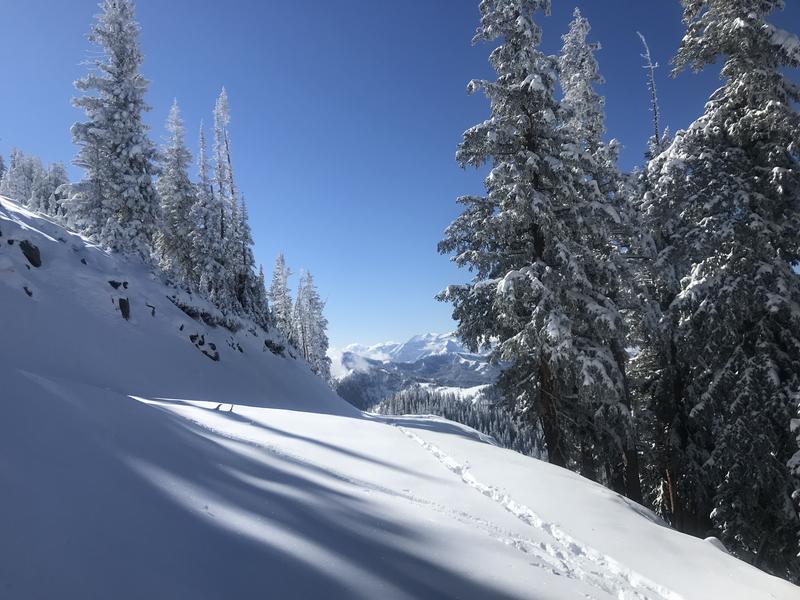
(pc: Barb Eastman)
Another cold front arrives tomorrow (Thursday) that should produce another 3-6" of low density snow. Winds are forecast to remain moderate to strong out of the northwest post-frontal throughout the day and into afternoon with temperatures dropping to the low teens.
The lake may squeeze another inch or two out of the storm, but it may favor areas north of I-80...and the stronger winds may not help lake enhancement anyway. A clearing and warming trend follows for the weekend with mountain temperatures rebounding to the low to mid 40s. A quick hitting system follows for Monday.
The first natural avalanches ran with the high snowfall rates late Monday or early Tuesday morning. They were fairly shallow in nature but it certainly demonstrates yet again that it's not always how much snow falls, but rather how much how fast.
These shallow new snow avalanches ran in the higher elevations in the steepest terrain but the instability quickly settled out.