Forecast for the Salt Lake Area Mountains

Issued by Nikki Champion on
Monday morning, January 27, 2025
Monday morning, January 27, 2025
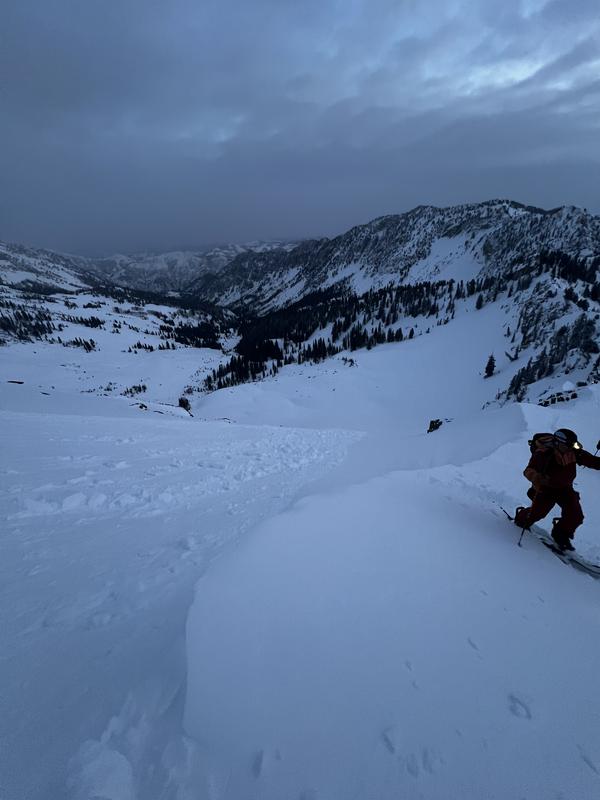
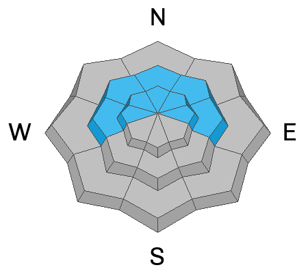
Avalanche danger is MODERATE on all aspects at upper elevations and on mid-elevation slopes facing west, north, and east. Today, it’s possible to trigger older hard slabs or newly formed shallow soft slabs of wind-drifted snow. Typical signs of wind-drifted snow, like textured surfaces, might be hidden under a few inches of recent snow. Give extra caution to ridgelines, sub-ridges, and other features that could act as a catch for the wind.
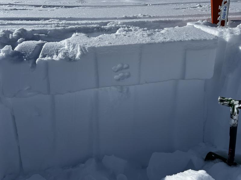
On northerly and east-facing slopes at the mid and upper elevations, it is possible to trigger an avalanche that fails 2-4 feet deep in a persistent weak layer.
As the sun heats southerly slopes today, watch for shallow wet-loose avalanches.

Low
Moderate
Considerable
High
Extreme
Learn how to read the forecast here