Forecast for the Salt Lake Area Mountains

Drew Hardesty
Issued by Drew Hardesty on
Friday morning, January 23, 2026

The avalanche danger is LOW and the snow is mostly stable.

Remember that risk is inherent in mountain travel and even a small avalanche could be consequential in complex terrain.

Low
Moderate
Considerable
High
Extreme
Learn how to read the forecast here
Special Announcements

Did you know the UAC hosts a podcast?

Episode 2 of Season IX is just out - AI, Machine Learning, and the Value of Expert Intuition at the Utah Avalanche Center.

Weather and Snow

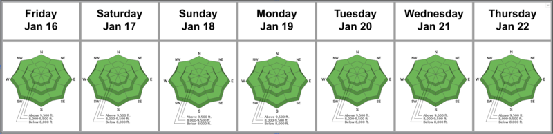
Skies are trending mostly cloudy and then overcast. Winds are moderate to strong from the northwest. Temperatures are in the upper teens to mid-20s.

Southern and central Utah will benefit from a storm on the southern track while we'll "benefit" from a system well to the north. By "benefit", I mean the much colder air will allow the valleys to mix out and happy days are here again.*

There's some chance of light snowfall this evening that may add up to a trace or so. Winds will be light to moderate from the northwest and mountain temps will plunge to the upper single digits up high and the teens elsewhere. Skies will clear for the weekend.

The Week in Review is hot off the press...and the sea of green is more interesting than you might expect. You can find it HERE.

Katz, Torrey, and Sievers - all avalanche pros - rode up Snake Creek toward Pole Line Pass yesterday and their report can be found HERE>

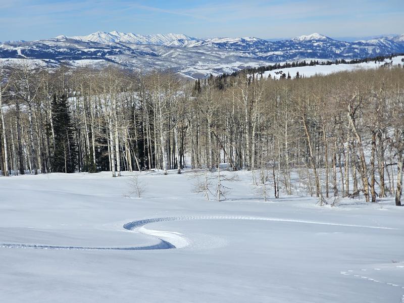
Views and riding conditions are pretty good! - (pc-Kaufman)

Recent Avalanches

None.

We do, however, continue to receive quality observations from the backcountry.

Avalanche Problem #1
Normal Caution
Type
Location
Likelihood
Size
Description

There is no single, dominant avalanche problem and the snow is generally stable. That said, avalanches are still possible in isolated terrain, especially in the upper elevations.

You may still encounter:

  • Small wind slabs on upper elevation ridgelines and around terrain features where snow has drifted
  • Loose dry sluffs on very steep slopes, especially where the snow remains shallow or unconsolidated. As the snow surface continues to weaken, loose dry sluffs will become more common
  • Loose wet avalanches on sunny slopes as the snow warms during the day
  • Outlier slab avalanches failing on a persistent weak layer. Thin, steep, rocky slopes and areas with a shallow snowpack remain the most suspect

Take advantage of the favorable weather to practice companion rescue skills, including beacon searches, probing, and strategic shoveling.

General Announcements

This information does not apply to developed ski areas or highways where avalanche control is normally done. This forecast is from the U.S.D.A. Forest Service, which is solely responsible for its content. This forecast describes general avalanche conditions and local variations always occur.