Forecast for the Salt Lake Area Mountains

Issued by Nikki Champion on
Wednesday morning, January 22, 2025
Wednesday morning, January 22, 2025
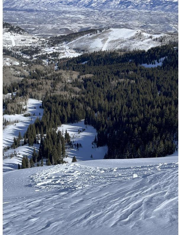
The avalanche danger is MODERATE on all mid and upper-elevation slopes. After 24 hours of strong winds and soft snow available for transport, fresh wind drifts may be found on all aspects, including elevations, drainages, and sub-features that are typically wind-protected.
There is a possibility of triggering an avalanche that fails into the buried facets on mid and upper-elevation west-north-east-facing aspects, particularly on slopes with a thinner snowpack.
Rounded pillows of snow that crack or collapse upon approach are clear signs that the wind-drifts are sensitive and should be approached with caution.

Low
Moderate
Considerable
High
Extreme
Learn how to read the forecast here