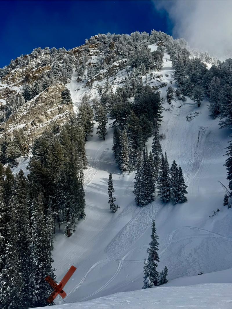
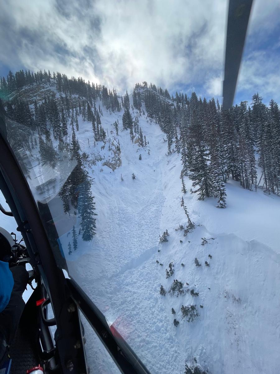
We are deeply saddened to confirm two avalanche fatalities. The first involved a 38 year old man in Main Porter Fork of Mill Creek Canyon who went missing on Saturday. The second avalanche fatality occurred Tuesday that involved a 54 year old man off Davenport Hill into Silver Fork of BCC. Both individuals were traveling alone in the backcountry. Our condolences go out to to the family and friends of the victims.
Many thanks to those who responded to these accidents: search and rescue teams from AirMed, LifeFlight, Utah Dept Public Safety, Utah Department of Transportation, Salt Lake County Search and Rescue, Wasatch Backcountry Rescue, Alta Ski Area, and members of the Utah Avalanche Center.
We call these "Warm fronts"..."Warm air advection"...With a little bit of lift in the atmosphere, we get heavy dense snow becoming denser with the storm, rising temperatures, wind and maybe some rime to cap things off. It's a storm only a mother could love.
Mountain temperatures are rising and are in the mid to upper 20s. Winds are blowing from the west northwest, blowing 15-20mph with gusts to 30. Along the highest ridgelines, winds are averaging 35-40mph with gusts to 65. Yuk.
Storm totals so far:
- Cottonwoods: 5-8"/0.8-1.15" SWE (snow water equivalent)
- Park City ridgeline: 4-6"/0.6" SWE
- Ogden: 4-6"/0.6-0.9" SWE
- Provo: 2"/0.30" SWE
Snowfall and wind should start to taper off by late morning and we may squeeze another 2-4" before it's all said and done. Winds will blow 15-20mph from the west-northwest. Mountain temperatures will be in the mid to upper 20s rising to the mid to upper 30s overnight(!) A brief and transitory shortwave ridge builds in tonight into tomorrow to bring clearing overnight into Friday. Temperatures remain warm tomorrow ahead of Saturday's cold front. "Storms" are on tap Saturday, Sunday, and possibly early week. None of them look like blockbusters, but they'll add up to something.
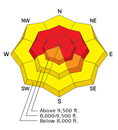
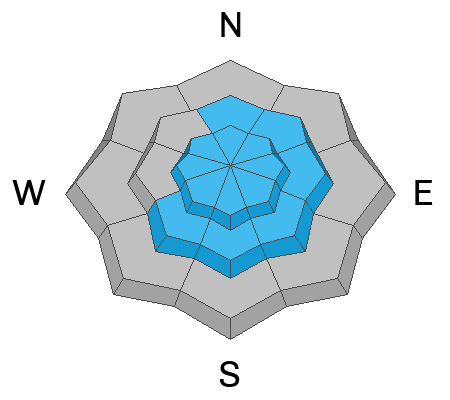
Skiing and riding conditions today will be variable: areas of surfy graupel, areas with wavy wind drifts, areas of cakey upside down snow. Pull out the big ride today - you'll need it because you can't go into steep terrain anyway. I think we've pushed back into HIGH avalanche danger in many areas.
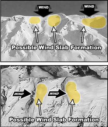
Ski areas reported mixed results with avalanche control work yesterday: many shots led to black holes in the snow but some shots pulled out large avalanches ripping out to near the ground. Wind slabs were also reported as "touchy" in parts of the wind zone.
No reports of avalanches from the backcountry yesterday, but there'll be no rest for the wicked. I imagine we'll hear of some today.
From Tuesday: there were another ten avalanches triggered in the backcountry, including the fatality on north facing Davenport Hill into Silver Fork.
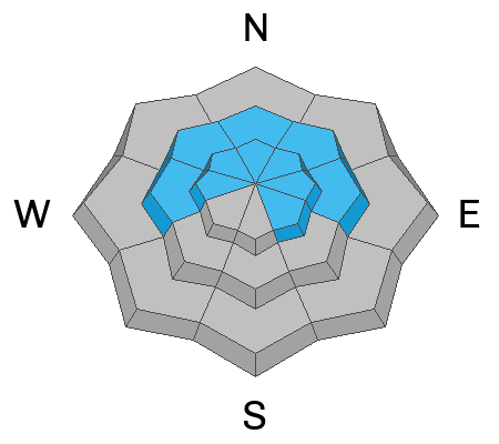
The list includes Butler Basin, Meadow Chutes, Lavina Creek, Ant Knolls, Little Water, Summit Park, Sheep Shit Ridge, Lackawaxen, Murdock Peak, and Davenport. These were 2-4 feet deep and 200 feet wide on generally north through east facing aspects at 9500' or so. Nearly all were triggered from a distance. This pushes our totals to just over 50 reported avalanches since Friday now failing on our old weak persistent weak layer (PWL) of faceted snow from early season.
A couple notes: some of these avalanches were pulling into lower angle terrain (~30° degrees or less in steepness). Some of these are ripping out in seemingly benign terrain (ie-terrain in Mill D North of BCC).
Reminder: Please call Alta Central (801-742-2033) or your closest ski patrol dispatch (INFO) if you happen to witness a new avalanche near a ski area and are sure there is no one involved. This allows rescue teams to stand down and not stick their necks out if they're not needed. Thank you -
For detailed observations and reports, check out all avalanche observations
HERE. 
