This morning, there is an inversion in the mountains with trailhead temperatures hovering in the single digits F, and ridgeline temperatures in the mid-teens F. At the highest elevation peaks, the temperatures drop back down into the single digits. Winds have transitioned to south southwesterly, and are blowing 5-15 mph with gusts up to 30 mph at the highest ridgelines. Overnight winds hit gusts closer to 45 mph.
Today the south winds will increase as this system makes its way through Northern Utah. Skies will be primarily cloudy with periods of light snowfall during the afternoon. Temperatures will climb into the mid-20s F, and winds will remain south southwesterly blowing 10-20 mph with gusts up to 30 mph at mid-elevations. At upper elevations, winds will blow 15-25 mph with gusts up to 45 mph. The wind speeds will peak midday. We can expect 1-3" of snow before 5 PM.
High pressure will return to the area beginning late Friday into Saturday before the next cold system potentially impacts Northern Utah on Sunday.
The riding conditions have been amazing. A bit of solar input and warm temperatures yesterday could have left a crust on the southerly-facing aspects - but anything out of the solar zone should still harbor cold snow.
Snowfall and total snow depths for the last two weeks
- Upper Cottonwoods- 100-115" snow (snow depth 125-160")
- Park City Ridgeline 75-113" snow (snow depth 90-105")
- Provo Area Mountains 90-92" snow ( snow depth 80-115")
- Ogden Area Mountains- 75-78" snow (snow depth 90-110")
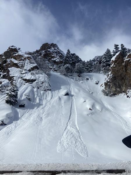
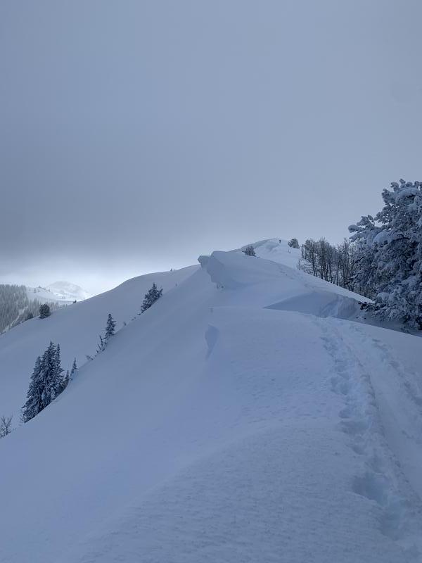
Yesterday backcountry travelers reported widespread dry loose avalanches in steep terrain and sensitive slabs of wind-drifted snow along ridgeline features.
Dry-loose avalanche just above Big Cottonwood Canyon Rd. Find full ob HERE.
Check out the observations from yesterday
HERE.


