Forecast for the Provo Area Mountains

Issued by Evelyn Lees on
Thursday morning, March 28, 2019
Thursday morning, March 28, 2019
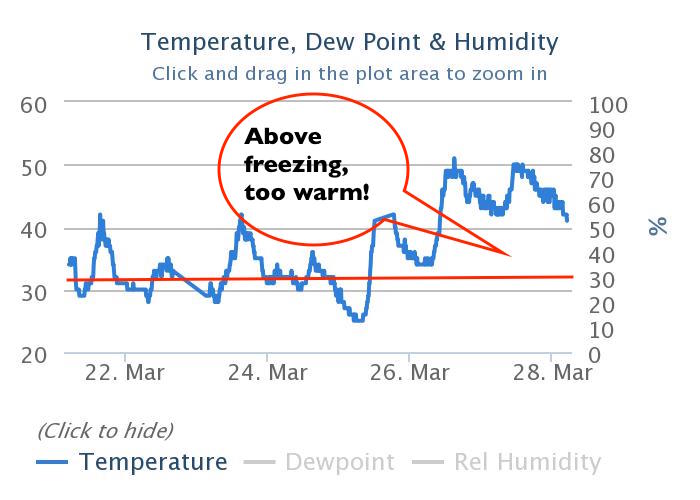
The avalanche danger is CONSIDERABLE for wet snow avalanches at the mid and low elevations - for both loose sluffs and wet slabs. The wet snow will be slow to cool today, and any rain on snow will increase the danger. The avalanche danger is MODERATE on steep upper elevation slopes for triggering a slab of wind drifted snow. These drifts will be most widespread on slopes facing the north 1/2 of the compass, but scattered drifts may be found at the mid elevations and cross loaded around terrain features.

Low
Moderate
Considerable
High
Extreme
Learn how to read the forecast here