Forecast for the Provo Area Mountains

Trent Meisenheimer
Issued by Trent Meisenheimer for
Sunday, March 24, 2019
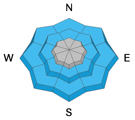
The avalanche danger is MODERATE on all steep upper elevation slopes, where shallow slabs of wind drifted snow failing on the old dry snow could be triggered. Mid and lower elevation terrain has a MODERATE avalanche danger for wet snow sluffs due to the warm temperatures and damp, soggy snow.
Low
Moderate
Considerable
High
Extreme
Learn how to read the forecast here
Special Announcements
Catch up with Greg’s Week in Review HERE.
The latest blog-casts are out - Shame and the Social Contract and Stacking the Deck.
Weather and Snow
Overnight we picked up another 2-4" of new snow throughout the Provo range. The southerly winds picked up around 7:00 pm last night and are currently blowing 10-20 mph gusting into the 30's and 40's across the high ridge lines. At mid elevations the winds are blowing in the 10-15 mph range. Temperatures are in the mid 20's °F at 10,000' while the lower elevation (7,500') trail heads are hovering around the freezing level of 32 °F.
We should continue to see snow showers and good cloud cover into the early/late afternoon today as a weak system lifts to our north and east. Temperatures will remain on the colder side with 10,000' temps staying in the mid 20's. The southerly winds are forecasted to decrease as the day wears on. The sun may poke through the clouds late in the afternoon as high pressure begins to build in later this evening.
The best riding and turning conditions are on the northerly facing slopes above about 9,000' in elevation, where you can still find dry cold powder snow. Yesterday's warm temperatures from green housing, shrink wrapped the mountain snowpack and made most all other aspects and elevations damp and soggy by mid morning. Today, you can expect all but mid and upper elevation northerly facing terrain to be crusted with 2-6" of dense surfy snow on top.
Recent Avalanches
One observer noted they heard huge rumbling noises coming from the Primrose Cirque area yesterday afternoon as they walked around below. They did not see the avalanche but suspected it was large. The big news came from Davenport Hill in the Wasatch range when a party was walking along the ridgeline and triggered a giant cornice. Luckily no one was caught or below as the giant house size chunk of snow rocketed down slope breaking many trees (Video below: Winslow).
Ad
Avalanche Problem #1
Wind Drifted Snow
Type
Location
Likelihood
Size
Description
The southerly winds picked up last night around 7:00 pm and have continued to blow at speeds of 15-20 mph gusting into the 30's and 40's at the upper elevations. With new snow to move around I am expecting there to be drifts of wind blown snow and shallow sensitive soft slabs scattered around the high elevations.
Keep and eye out and watch for areas that look fat, pillowy, smooth and rounded as they should be avoided. In forgiving terrain (clean run outs) one should be able to tease these drifts with slope cuts. However, in terrain with high consequence (trees, rocks, cliffs, sustained steepness) it's best to ride around these drifts or enter the slope in places that have not been effected by the wind.
Avalanche Problem #2
Wet Snow
Type
Location
Likelihood
Size
Description
Overnight temperatures remained warm in the Provo area mountains and elevations below 8,000' did not drop below freezing. For today, I would expect the snow at the Mid and Lower elevations to remain damp and soggy. The more new snow and steeper the terrain where you are, the bigger these wet loose avalanches will be. They will likely run on the old melt freeze ice crusts, they may go much further than expected. If the snow is damp, head to lower angle slopes and avoid travel in and below run out zones, like gullies.
General Announcements
This information does not apply to developed ski areas or highways where avalanche control is normally done. This forecast is from the U.S.D.A. Forest Service, which is solely responsible for its content. This forecast describes general avalanche conditions and local variations always occur.