Forecast for the Provo Area Mountains

Drew Hardesty
Issued by Drew Hardesty for
Wednesday, March 20, 2019
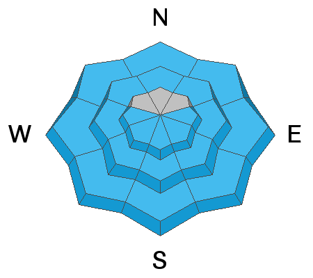
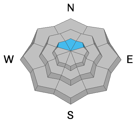
The avalanche danger is MODERATE on all aspects. Extra caution is warranted if traveling in the Provo area mountains. Large destructive avalanches are less likely, but still possible in steep mid and upper elevation terrain. Wet avalanches remain probable with daytime warming.
Low
Moderate
Considerable
High
Extreme
Learn how to read the forecast here
Special Announcements
Shame and the Social Contract - The latest blog-cast is out (this is a short one - 10 minutes)
Weather and Snow
Spring Equinox. But you, the migrating birds, the snowpack, and my magnolia tree already knew that.
Skies are partly cloudy-trending mostly cloudy. Mountain temps are in the mid to upper 20s.
The southeast winds stole the show, however, and are blowing 25-30mph with gusts to 40.
Variable snow conditions exist with newly wind damaged soft settled recrystallized powder on the steep northerly aspects with a wide window of supportable spring corn-like conditions on the southerly slopes.

For today, we'll see increasing clouds, moderate southeasterly winds, and mountain temps warming into the low 30s along the upper ridgelines and the mid-40s at the base areas and trailheads. A couple of loosely organized storms are on the doorstep and while it appears the bulk of the energy will affect central and southern Utah, the spillover could add up to a foot or more by late weekend.
Recent Avalanches
Large avalanches roared down in parts of the Provo mountains over the weekend with crowns estimated at 4-8' deep, leaving impressive debris piles in the flats below. We've noted only minor wet loose avalanches in the more recent days, however.
Ad
Avalanche Problem #1
Wet Snow
Type
Location
Likelihood
Size
Description
The snow surface has had another night with a solid refreeze, but natural and human triggered wet avalanches remain possible as snow heats up from the sun. Stay off of, and out from steep slopes as they start to get wet and sloppy. Plan your exits so you're not coming out of steep canyon bottoms during the heat of the day.
Avalanche Problem #2
Persistent Weak Layer
Type
Location
Likelihood
Size
Description
The Provo snowpack remains dangerous on some mid and upper elevation aspects, with a complexity that makes it difficult to identify patterns. Field reports indicate persistent weak layers are still reactive to stability tests, and this is enough for very experienced people to continue to provide a wide buffer of margin in this terrain. These are difficult and dangerous conditions to assess because to get into the upper elevation bowls, one must walk in/underneath many large slide paths. With warming from the sun, avalanching down in these persistent weak layers can produce very large avalanches, breaking several feet deep and hundreds of feet wide.
Avalanche Problem #3
Wind Drifted Snow
Type
Location
Likelihood
Size
Description
Shallow but sensitive wind drifts are now likely to be found in the north facing terrain. These may be triggered from a distance and - as always - most problematic in unforgiving terrain. The ramped-up east to southeast winds and weak snow surfaces should be enough to recalibrate one's mindset if headed to the more aggressive alpine terrain today.
General Announcements
This information does not apply to developed ski areas or highways where avalanche control is normally done. This forecast is from the U.S.D.A. Forest Service, which is solely responsible for its content. This forecast describes general avalanche conditions and local variations always occur.