Forecast for the Provo Area Mountains

Tuesday morning, December 2, 2025
Welcome to Winter 2025-2026. Today, we begin issuing daily danger ratings.
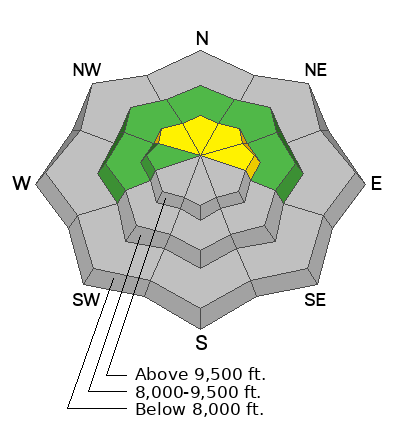
If you’re heading out, stay alert on mid- and upper-elevation slopes facing northwest through north and east, and on mid-elevation terrain above 8,500 feet, especially ridgetops and features that have seen additional wind. These areas have a MODERATE danger for small avalanches on slopes holding old, weak faceted snow. The snowpack is thin, faceted, and just starting to wake up for the season.
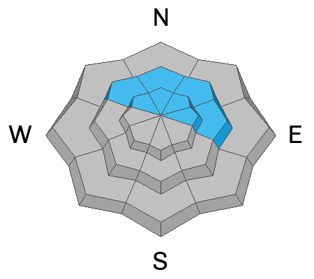
The catch is that north-facing slopes hold the most snow and will look the best to ride, but they’re also the most suspect. Southerly-facing slopes were mostly bare before this storm.
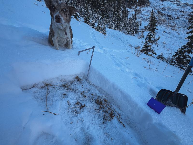
Beyond the weak snowpack, the main risk comes from shallow terrain with rocks, stumps, or any fall that could be serious. Coverage is low to non-existent on aspects shown in grey on the danger rose, so keep that in mind and use safe travel practices.