Forecast for the Provo Area Mountains

Drew Hardesty
Issued by Drew Hardesty on
Thursday morning, January 22, 2026

The avalanche danger is LOW and the snow is mostly stable.

Remember that risk is inherent in mountain travel and even a small avalanche could be consequential in complex terrain.

Low
Moderate
Considerable
High
Extreme
Learn how to read the forecast here
Weather and Snow

A storm! Actually two storms!

But they are well to the north and east...and well to the south and west of us. We will see much colder temperatures over the weekend and - if you squeeze your eyes tight - maybe a snowflake or two. Possibly a trace. We can only hope. But for today, we'll have mostly sunny skies, light to moderate winds from the west, and temps in the mid 30s down low, the upper 20s up high. Increasing clouds overnight hint of the two storms passing in the night.

Despite the lack of recent snow, you can still find soft recrystallized powder in the sun and wind protected mid-elevations. Coverage is a grim at the trailheads 20-30" up high.

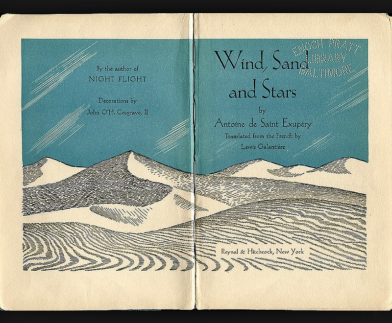
There is a beautiful book, written by the French aviator Antoine de St. Exupery, called Wind, Sand, and Stars. Part of it details a time when his plane crashed in the Libyan desert. I think it was 1935. With little water between them, it wasn’t long until he and his navigator began experiencing visual and auditory hallucinations. Mirages appeared on the landscape, though they were always just out of reach. It’s a little like looking at the weather models these days…

Bo Torrey and Liam McDonald were in Hobble Creek yesterday and found stable snow. Their observation can be found HERE. Ryan Shea rode up to the Ant Knolls via Snake Creek on Tuesday and his report is HERE. Find other quality observations from the backcountry.

Recent Avalanches

None.

Avalanche Problem #1
Normal Caution
Type
Location
Likelihood
Size
Description

There is no single, dominant avalanche problem and the snow is generally stable. That said, avalanches are still possible in isolated terrain, especially in the upper elevations.

You may still encounter:

  • Small wind slabs on upper elevation ridgelines and around terrain features where snow has drifted
  • Loose dry sluffs on very steep slopes, especially where the snow remains shallow or unconsolidated. As the snow surface continues to weaken, loose dry sluffs will become more common
  • Loose wet avalanches on sunny slopes as the snow warms during the day
  • Outlier slab avalanches failing on a persistent weak layer. Thin, steep, rocky slopes and areas with a shallow snowpack remain the most suspect

Take advantage of the favorable weather to practice companion rescue skills, including beacon searches, probing, and strategic shoveling.

Additional Information

Where Did the PWL Problem Go?
Think of the snowpack like any other material under stress. Adding new snow or wind loading adds stress to the system. Over time, the snowpack slowly adjusts and avalanches become less likely, even though the facets don’t disappear entirely. You can then have poor structure, but stable snow.

This is a period of dormancy. The problem still exists, but is currently quiet. That said, additional loading or warming could reactivate this layer.

During this stretch of high pressure, the snow surface is weakening and becoming faceted, especially in wind-protected terrain. Once buried, this surface snow will likely be the next layer we’re watching and could become the next persistent weak layer. It’s worth keeping an eye on how much the surface continues to weaken over the next week.

General Announcements

This information does not apply to developed ski areas or highways where avalanche control is normally done. This forecast is from the U.S.D.A. Forest Service, which is solely responsible for its content. This forecast describes general avalanche conditions and local variations always occur.