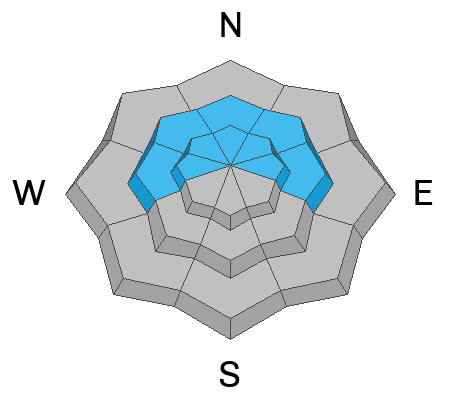
Skies are mostly clear. Temps are in the single digits to mid-teens. Winds are generally light from the west-northwest. Coverage remains thinner, but fortunately supportable because of the old holiday crusts and graupel from the last storm. There are actually decent touring conditions above 8000'.
For today, we'll have sunny skies, light winds from the north, and temps in the upper teens. High pressure dominates the weather forecast for the coming week.
Yesterday, we received report of a likely catch and carry avalanche off Rochester Ridge. The observer didn't witness the event, but the tracks tell the story. More slides like these are what you're likely to find in the backcountry today.
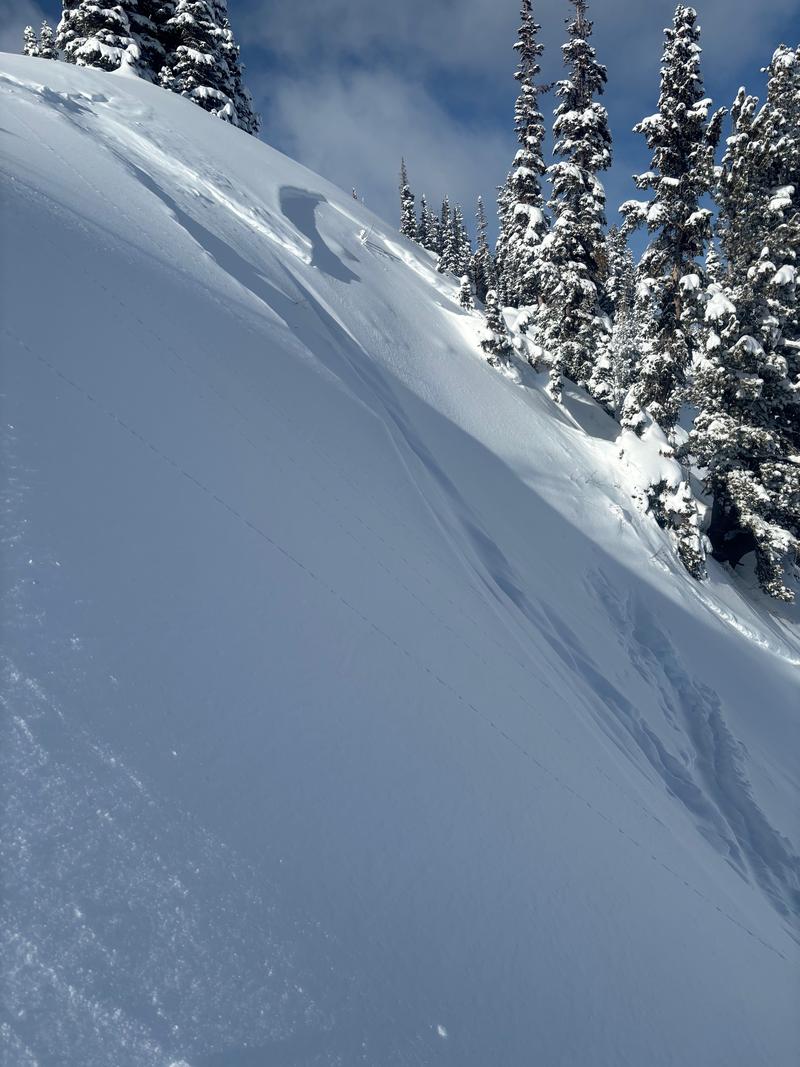
We have not heard of any other avalanches in the Provo area mountains, but suspect that both sluffing and wind slabs were noted in the high country.
On Monday, a snowmobiler triggered a very large hard slab at First Cornice, a zone known for heavy wind loading. This is on the Wasatch Back near Snake Creek. The crown averaged 4 feet deep, but near the most heavily loaded areas by the cornice, it may have been up to 7 feet deep. A follow-up investigation by Brooke and Trent confirmed the avalanche was a slab of wind-drifted snow that failed on small grain facets above the Christmas Eve rain crust. The avalanche did not step down more deeply into the old snow below the crust.
Read all backcountry observations here.