Under clear skies the overnight mountain temperatures dropped into the teens and low 20's °F leading to a solid re-freeze of the snow surface. Winds are from the northerly direction blowing 5-10 mph gusting into the 20's across the upper elevations. Today will be a beautiful sunny day with temperatures rising into the 30's & 40's at 8,500'. By the afternoon the 9,500' temperatures will rise into the mid to upper 20's °F. Winds will be from the northerly direction and they are forecasted to remain calm throughout the day.
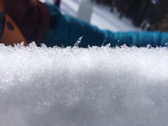
Yesterday's sun and warm temperatures cooked many if not all the steep sunlit slopes. The snow became wet and soggy on all aspects below about 7,000' by late afternoon. This morning those aspects and elevations will have a supportable crust that will quickly soften by mid morning. The northwest, north and northeast facing slopes above about 7,500' in elevation has excellent dry cold powder snow.
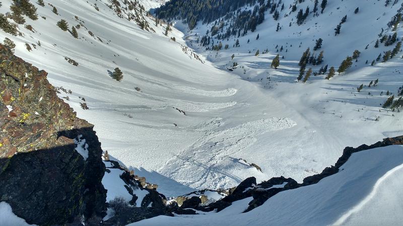
Yesterday, the mountains went through a natural wet loose avalanche cycle beginning about 11:00 am. Most of these slides were small, starting at and point and fanning out 50' feet wide before stopping in the lower angled terrain. (Photo Below: Hardesty/Wilson. Wet loose avalanches in the Ogden area.)
A snowboarder was caught and carried in an avalanche yesterday in the Powder Mountain backcountry, outside the resort boundaries. This avalanche was on an east facing slope (45° in steepness) 9,200' in elevation and was 1' deep 250' wide running 1,000' vertical feet downhill. The rider was caught and carried for 600' feet before coming to a stop. The rider was uninjured and did report the slide to Powder Mountain ski patrol.