Forecast for the Ogden Area Mountains

Issued by Nikki Champion on
Thursday morning, March 23, 2023
Thursday morning, March 23, 2023
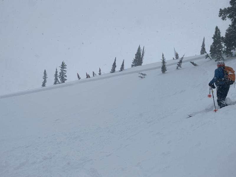
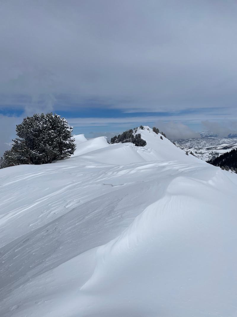
The avalanche danger is CONSIDERABLE on all upper-elevation slopes and mid-elevation slopes facing northwest, through east, through southeast where heavy snowfall and strong winds have created dangerous avalanche conditions. Any bump in winds will continue to form unstable slabs of wind-drifted snow on all upper-elevation slopes and mid-elevation lee-ward facing slopes. Both loose snow and slab avalanches may be possible within the different layers of new snow from the past few days.
Watch for any signs of instability within the new snow and wind-drifted snow such as cracking, collapsing and sluffing.

Low
Moderate
Considerable
High
Extreme
Learn how to read the forecast here