Forecast for the Ogden Area Mountains

Nikki Champion
Issued by Nikki Champion on
Monday morning, February 3, 2025
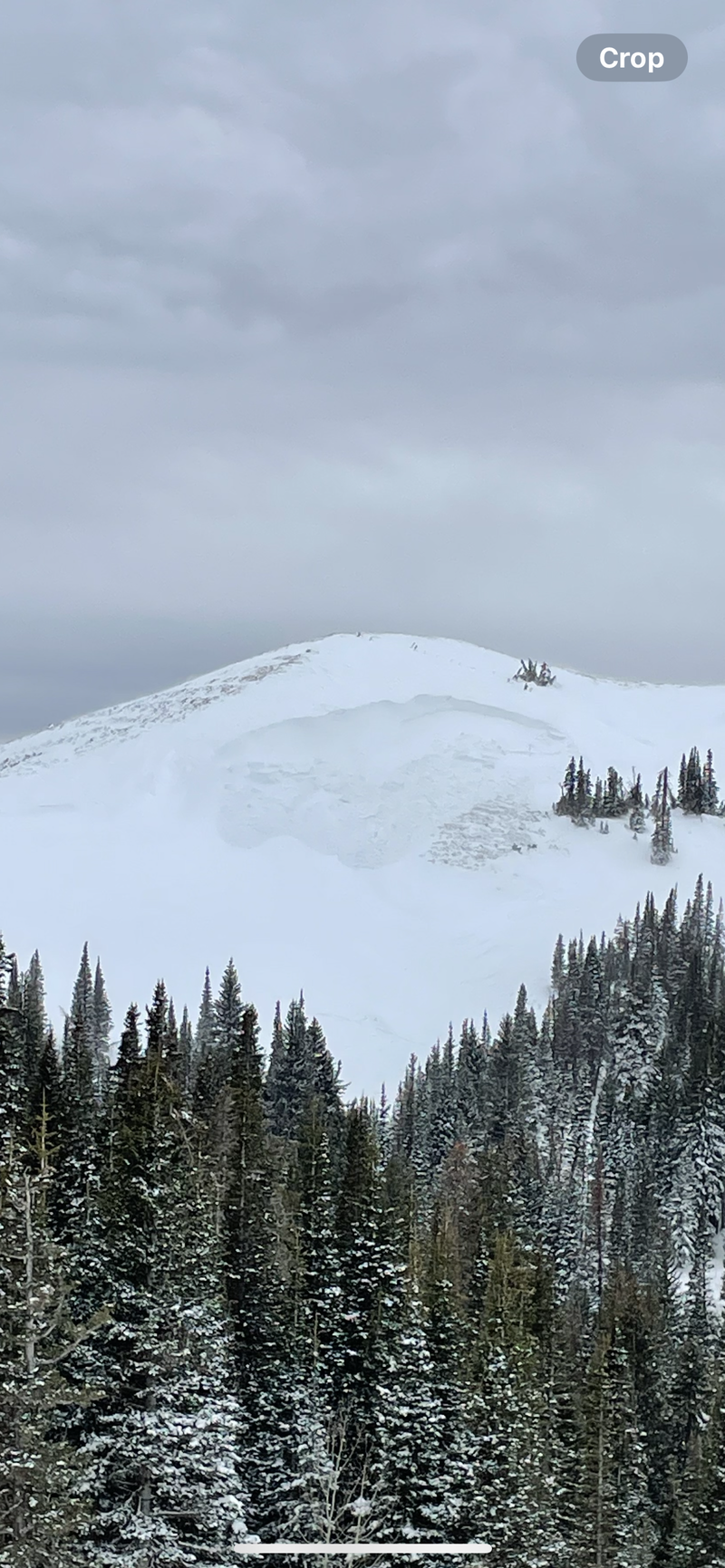
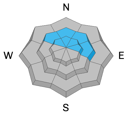
The avalanche danger is CONSIDERABLE on all mid- and upper-elevation slopes, where human-triggered avalanches are likely to fail on a layer of weak, faceted snow, now buried beneath the new snow and recent wind drifts. These avalanches could be 1–3 feet deep and may be larger if they involve the facets near the ground.
Strong winds have created wind drifts at mid and upper elevations, which can be avoided by staying on lower-angle slopes. Avoid being near or under large cornices, as they may break further than expected and trigger avalanches below.
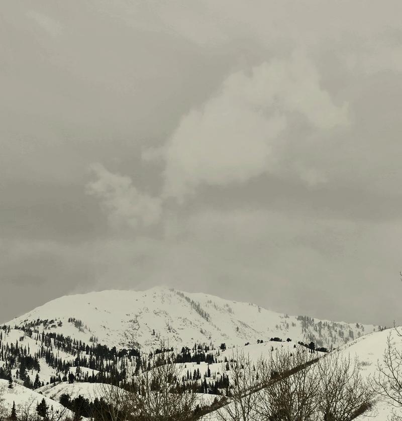
At low elevations, avalanche danger is MODERATE due to the possibility of wet snow avalanches. This risk will increase throughout the day and into tomorrow as temperatures rise and remain above freezing. Pay attention to changing conditions; if the snow becomes wet, unsupportable, and unstable, it’s time to gain elevation.
Low
Moderate
Considerable
High
Extreme
Learn how to read the forecast here
Weather and Snow
This morning, under partly cloudy skies, trailhead temperatures range from the low to mid 40s°F, with the highest peaks in the low 30s °F. Winds are out of the southwest, blowing in the 20s and gusting to 40+ MPH at mid-elevation ridgelines, while the highest ridgelines see winds in the high 30s, gusting over 60 MPH.
Storm totals from the weekend range from 12-20" snow with 1.5-2.50" water.
A warm and windy pattern persists today. Skies will remain mostly cloudy, with temperatures climbing into the upper 40s and low 50s °F. Winds will stay strong from the west-southwest—blowing 20 MPH, gusting to 30 MPH at lower ridgelines, and 45 MPH, gusting up to 70 MPH at the highest ridgelines.
A cold front will move through Wednesday morning, bringing a band of snow. Accumulations will be limited. A stronger system is on track to impact the area Friday into early Saturday.
Recent Avalanches
Yesterday, there were multiple avalanches reported from the Ogden area mountain backcountry and ski resorts. Most were new or wind-drifted snow avalanches failing on near-surface facets.
Ski resorts reported a mix of natural and explosive-triggered avalanches with most activity occurring at mid and upper elevations. Wind slabs were prominent, ranging from 6 to 18 inches deep, and were more reactive at higher elevations, particularly along ridgelines and cross-loaded features. Lower elevations experienced wet loose avalanches as temperatures rose, with some wet slabs observed in steep terrain.
Below is an impressively loaded wind feature in Farmington Canyon that failed 4' deep and 150' - NE Aspect - 8500'
Check out all recent observations and avalanches HERE.
Ad
Avalanche Problem #1
Wind Drifted Snow
Type
Location
Likelihood
Size
Description
Winds remain elevated, creating soft and hard slabs of wind-drifted snow on all aspects and most elevations. These slabs sit on a weak, faceted snow surface and have not bonded well. Look for pillow-shaped deposits and avoid these areas. Shooting cracks, cornices, and collapsing are signs of wind-drifted snow.
Drifts may be found lower off ridgelines than expected due to high winds.

CORNICES pose a significant risk. Multiple cornice-triggered avalanches have been reported in the last two days. Limit exposure to ridgelines near cornices and slopes below, as a cornice fall could trigger a larger slab or entrain snow onto the slope below.

Wind transport off of Ben Lomond - D. DeBruin
Avalanche Problem #2
Persistent Weak Layer
Type
Location
Likelihood
Size
Description
There are two buried weak layers in the snowpack. The first is a layer of near-surface facets from last week’s cold, clear weather, which won’t bond well to new snow or recent wind drifts. Sloughing and loose snow avalanches are expected, and this is the layer responsible for most of the avalanches we saw this weekend. It will have the highest likelihood of triggering today.
The second layer is near the ground, formed in December, and responsible for large avalanches during the Holiday Avalanche Cycle. This layer is more likely to trigger with large loading events, with avalanches up to 1'-3' deep. It’s most likely to fail on steep, thinner snowpack slopes, rocky gully features, and “repeater slopes.” The avalanche page allows tracking of past avalanche cycles.

Read more about persistent weak layer avalanches HERE.
Avalanche Problem #3
Wet Snow
Type
Location
Likelihood
Size
Description
With above-average temperatures today, be cautious of wet loose avalanches at mid and lower elevations, especially in steep rocky gully features. These may not bury you, but combined with buried facets, there’s a chance of a wet slab avalanche. Any dry snow avalanche that reaches wet snow will be larger and more dangerous. Watch for rollerballs, pinwheels, and unsupportable snow as signs of wet snow.
Avalanche likelihood will increase as temperatures rise and into tomorrow if there’s no solid refreeze.
General Announcements
This information does not apply to developed ski areas or highways where avalanche control is normally done. This forecast is from the U.S.D.A. Forest Service, which is solely responsible for its content. This forecast describes general avalanche conditions and local variations always occur.