Forecast for the Ogden Area Mountains

Nikki Champion
Issued by Nikki Champion for
Thursday, December 21, 2023
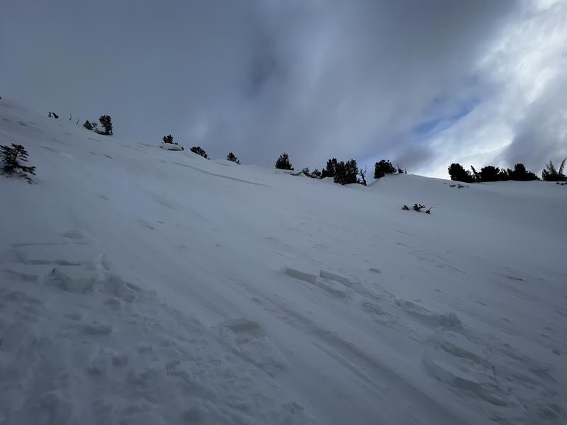
Overall, the avalanche danger is generally LOW, and normal caution exists. You may encounter isolated pockets of fresh wind-drifted snow in exposed terrain at the mid and upper elevations. Wet-loose avalanches should remain on your radar in damp or punchy, unsupportable areas that received rain yesterday and another poor overnight refreeze.
Continue to maintain safe travel habits; this means exposing one person at a time to avalanche terrain, having someone watch them from a safe location, and not traveling above or below other parties.
Low
Moderate
Considerable
High
Extreme
Learn how to read the forecast here
Special Announcements
Our partners at the National Weather Service are looking for feedback on their mountain and avalanche weather information page. If you use their site, take a few minutes to give them feedback through this survey.
Weather and Snow
This morning, under mostly clear skies, temperatures are in the upper 20s and low 30s F. Winds are primarily from the southwest - gusting in the teens along mid-elevation ridges with gusts in the mid-30s along the highest peaks. Since yesterday, the mountains picked up an additional angry inch or two of new snow that began as rain in many places.
Today, skies will become mostly cloudy, temperatures will rise into the upper 30s and low-40s F, and the southwesterly winds will remain generally light, gusting up to 20 mph along the highest peaks.
The cold front for Saturday is still on track, bringing moderate to heavy snow from Saturday morning into Sunday. There’s some uncertainty about how long the snow will last on Saturday, a longer duration into Saturday night or beyond would result in higher snow totals. Current runs expect about 0.2-0.5 inches of water and 2-6 inches of snow.
Before Wednesday, the cold and clear weather days weakened the snow surface, with either surface hoar or near-surface facets within the top couple of inches. The dash of new snow over the last two days offered a bit of a refresh to areas that may not have been as well protected but may not bond well to the weak faceted snow on northerlies or the suncrust on solar aspects. While the trace amounts of new snow are not much of a concern, once more significant storms return (and they will - don't worry), we will likely enter a period of dangerous avalanche conditions.
Recent Avalanches
No new reports of avalanches from the backcountry. On Tuesday, in the Central Wasatch there was one report of a skier-triggered shallow soft slab of wind-drifted snow in Main Days. This slab failed 8" down and 25' wide on an East Aspect at 10,400'. This avalanche likely on the faceted snow surface from before the new snow yesterday.
Photo: Tucker
An observer traveling in Broads Fork of BCC noted a recent glide avalanche on Bonkers (ENE facing at 10,100’). Rimmed to the west by steep and smooth quartzite slabs, Broads Fork is a well-known area for natural glide avalanches. Stairs Gulch to the west of Broads and Mill B South to the east are also known for glide avalanches. I wouldn't be surprised to hear of another glide release in this terrain with the continued warm temps. Here is more info on glide avalanches.
Ad
Avalanche Problem #1
Normal Caution
Type
Location
Likelihood
Size
Description
Overall, the avalanche danger is LOW, and normal caution exists. Although avalanches are unlikely, they are not impossible. In isolated areas, you may encounter:
  • Pockets of fresh wind drifted snow along exposed ridges and in open terrain at the mid and upper elevations. One to four inches of new snow can easily be blown into two to eight inch thick wind drifts. Although drifts will be shallow and not very wide, wind drifts may be sensitive if they have formed on top of weaker snow underneath.
  • Small loose-wet avalanches in steep features on southerly aspects if the sun comes out this afternoon or thin clouds allow for some greenhousing to occur.
  • A larger avalanche breaking down into faceted snow in steep, thin, rocky terrain on aspects facing northwest through east, and even southeast at the mid and upper elevations.

Evaluate each slope and look for any signs of instability. Remember that low danger is not the same as no danger.
Additional Information
What happened to the Persistent Weak Layer problem? The PWL problem first appeared in the December 1 forecast. Since then, numerous natural and human-triggered avalanches have occurred, failing on the layer of faceted snow on mid and upper-elevation aspects facing west, north, east, and southeast. It is now unlikely a skier or rider could affect this deeply buried layer. While we acknowledge we have a poor structure of strong snow over weak snow, time has allowed this structure to become temporarily stable or “dormant”. While this problem has become dormant, it is not extinct and may again become reactive with future storms or a new load.
Forecaster Greg Gagne was in Porter Fork of Mill Creek Sunday and explains the situation below well.
General Announcements
This information does not apply to developed ski areas or highways where avalanche control is normally done. This forecast is from the U.S.D.A. Forest Service, which is solely responsible for its content. This forecast describes general avalanche conditions and local variations always occur.