Join us at our 2nd Annual Blizzard Ball

Forecast for the Ogden Area Mountains

Trent Meisenheimer
Issued by Trent Meisenheimer on
Saturday morning, November 25, 2023
Update for Saturday, November 25 at 6:50 AM
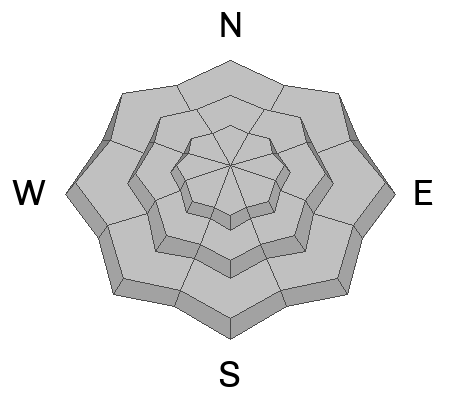
Today, we can expect dry-loose avalanches and small new snow soft slab avalanches across all aspects and elevations. On mid and upper-elevation northerly-facing slopes, it will be possible for a human to trigger an avalanche 1-2' deep that fails deeper in the snowpack on fragile faceted snow.
Evaluate the snow and terrain carefully; identify features of concern. Natural avalanches will be unlikely; human-triggered avalanches will be possible.
Low
Moderate
Considerable
High
Extreme
Learn how to read the forecast here
Special Announcements
Check uphill travel policies at resorts before you head up to their terrain.
Weather and Snow
Under partly cloudy skies, the last few snowflakes are being squeezed from the atmosphere. Mountain temperatures are cold and range from 11-17 °F. The easterly winds have finally died down and are now blowing from the northeast at 10-15 mph, gusting to 20 mph across the Ogden Skyline.
As the storm exits the stadium, high pressure will build into the area until mid-week. Snow totals are in:
  • Upper Little Cottonwood: 8-11” (0.51-0.71 water)
  • Big Cottonwood: 4-11” (0.48-0.71 water)
  • Park City Ridgeline 5-8” (0.40-0.46 water)
  • Provo Canyon 9” (0.73 water)
  • Ogden Mountains 2-6" (0.09-0.30 water)
Recent Avalanches
No recent avalanche activity has been reported. There have been a few observations and you can find there HERE.
Ad
Avalanche Problem #1
New Snow
Type
Location
Likelihood
Size
Description
As the new snow falls straight out of the sky, the in-your-face problem will likely be dry-loose avalanches from the low-density snowfall. However, it may also be possible to trigger shallow soft slabs up to a foot deep. Depending on your terrain selection, I expect these avalanches to be small and not much of a problem.
Avalanche Problem #2
Persistent Weak Layer
Type
Location
Likelihood
Size
Description
Across the mid and upper-elevation northerly facing terrain, you will find weaker faceted snow buried in the snowpack. These fragile surgery gains are now buried 1-2’ deep in many locations, and it is possible to trigger an avalanche today that breaks deeper into the snowpack, making a much more dangerous avalanche.
We haven’t had many observations or field days in the Ogden area, and I am pretty uncertain about what I would find there. Therefore, I would proceed with caution today and make sure to dig down, perform snowpit tests, and see what you’re riding on before trusting any steep slope. In many other mountain areas, we find plenty of weak-faceted snow that could cause avalanches. Please submit what you find to our website to help us all out.
Video: Snowpit observation on a north-facing slope at 9,600’ in elevation. This is a good example of what we are seeing in the Cottonwoods.