Join us at our 2nd Annual Blizzard Ball

Forecast for the Ogden Area Mountains

Dave Kelly
Issued by Dave Kelly on
Sunday morning, November 10, 2024
Welcome to the start of the 2024-2025 winter season.
Thanks for checking the forecast, and stay tuned. We’ll issue updates as conditions warrant.
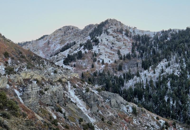
You can find 4"-6" of snow on northerly facing terrain above 6,000'. With such thin coverage, even a small avalanche could result in a traumatic ride over rocks. This forecast was updated 0900 Sunday November 10, 2024.
Low
Moderate
Considerable
High
Extreme
Learn how to read the forecast here
Special Announcements
Weather and Snow
We are expecting a weak storm on Tuesday that may deliver a few inches of snow, with high pressure returning on Wednesday. The weather models are hinting at a storm the weekend of November 16/17.
In the photo below Derek DeBruin gives us an idea of snow coverage on a northwest facing slope at 7,500'.

A thin early season snowpack can change quickly and on the cold dark north aspects will facet faster because of the strong temperature gradient. Read more about faceting in the snowpack HERE.
Recent Avalanches
Find all recent observations HERE.
Ad
Additional Information
It’s never too early to start thinking about avalanches. Here are a few things to consider doing:
  • Before traveling within one of the ski resort boundaries, even early season, check out Resort Uphill Policies
  • We have over 5 hours of free online learning at the Know Before You Go Website
  • Sign up for an on-snow class or in in person Know Before you Go Event HERE
  • Get your avalanche rescue gear ready for winter. Put fresh batteries in your transceiver and update the firmware. Inspect your shovel and probe. Get your airbag backpack ready by possibly doing a test deployment and updating the firmware if it is an electric version or getting your canister refilled if it's not electronic