Forecast for the Ogden Area Mountains

Mark Staples
Issued by Mark Staples for
Monday, January 7, 2019
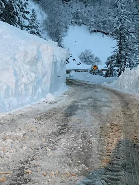
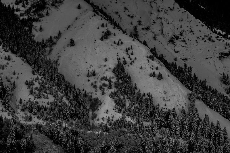
Today the avalanche danger is HIGH on all slopes. Heavy snowfall and strong south winds are rapidly loading slopes. Avoid all avalanche terrain today. Avoid being near or under any steep slope. The problem is not just the amount of snow and wind, but it is also the rate at which snow is falling which makes such dangerous conditions.
Low
Moderate
Considerable
High
Extreme
Learn how to read the forecast here
Avalanche Warning
THE FOREST SERVICE UTAH AVALANCHE CENTER IN SALT LAKE CITY HAS CONTINUED A BACKCOUNTRY AVALANCHE WARNING.
* TIMING...THROUGH 6 AM MST TUESDAY.
* AFFECTED AREA...FOR THE MOUNTAINS OF NORTHERN UTAH INCLUDING THE WASATCH RANGE, BEAR RIVER RANGE, AND UINTA MOUNTAINS.
* AVALANCHE DANGER...HIGH.
* REASON/IMPACTS...VERY DANGEROUS AVALANCHE CONDITIONS EXIST. HEAVY SNOW COMBINED WITH WIND WILL CREATE WIDESPREAD AREAS OF UNSTABLE SNOW. BOTH HUMAN TRIGGERED AND NATURAL AVALANCHES ARE LIKELY. STAY OFF OF AND OUT FROM UNDERNEATH SLOPES STEEPER THAN 30 DEGREES.
Weather and Snow
Yesterday's storm delivered:
  • 16 inches of snow (2" of water weight) near Snowbasin
  • 17 inches of snow (2.8" of water weight) near Ben Lomond Peak
  • 10 inches of snow (0.45" of water weight) near Powder Mountain
Heavy snowfall is occuring in the Ogden area mountains this morning at a rate of several inches per hour. As of 6 a.m. the mountains near Snowbasin had received 14 inches of snow (0.8 inches of water).
Strong winds are blowing from the south at 25-40 mph with gusts of 60 mph and temperatures are generally in the low 20's F.
Today strong winds and heavy snow should continue through the morning.
Recent Avalanches
Yesterday two large natural avalnaches hit the North Ogden Divide Road. Doug Wewer and Kory Davis sent great photos and more info here and here. Also, ski areas reported many natural slab avalanches occurred with in the new snow.
Photo below from the road crew shows the depth of the debris.
Photo below from Doug Wewer shows where one of the avalanches broke.
Ad
Avalanche Problem #1
Wind Drifted Snow
Type
Location
Likelihood
Size
Description
With more snow falling this morning and strong south winds blowing, any slope with wind drifted snow will produce slab avalanches today. Some can be triggered by people. Some will occur on their own. Winds can load a slope 10x faster than snowfall alone and the combination of winds and snowfall will make any wind-loaded slope very dangerous to be near or under.
Even though winds are blowing from the south, slopes at any aspect and elevation can be affected. Look for signs of recent wind loading such as smooth, rounded, pillowly deposits of snow.
Avalanche Problem #2
New Snow
Type
Location
Likelihood
Size
Description
Avalanches may also occur on slopes not affected by the wind. Even small steep slopes or little road cuts can produce avalanches. I was near Provo yesterday and triggered this tiny road cut which buried half of my snowmobile. Imagine a what a slope just a little bigger could do.
Avalanche Problem #3
Persistent Weak Layer
Type
Location
Likelihood
Size
Description
With this loading from snowfall and winds, all bets are off as to how the snowpack will react. The natural avalanches along North Ogden Divide are a serious red flag. We haven't had any slab avalanches break on a persistent weak layer of facets in the Ogden area mountains until this one.
  • In most places, facets near the ground were a very thin layer and had not been a problem.
  • In other places a layer of facets and some surface hoar formed on the snow surface during recent cold weather.
  • In places with a thin snowpack, the entire snowpack faceted and weakened during the cold weather.
With such a rapid load of snow this morning, I wouldn't be surprised to see a few more slab avalanches break on buried facets.
General Announcements
This information does not apply to developed ski areas or highways where avalanche control is normally done. This forecast is from the U.S.D.A. Forest Service, which is solely responsible for its content. This forecast describes general avalanche conditions and local variations always occur.