Forecast for the Ogden Area Mountains

Drew Hardesty
Issued by Drew Hardesty for
Wednesday, January 3, 2024
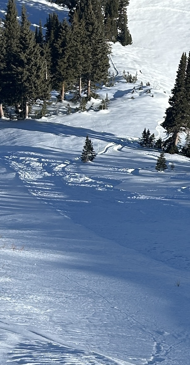
There is a generally LOW avalanche danger in the backcountry.
It will be possible to trigger shallow loose dry sluffs in steep northerly terrain. Also keep an eye on blowing and drifting snow along the most exposed ridgelines where you may find new shallow soft slabs.
Low
Moderate
Considerable
High
Extreme
Learn how to read the forecast here
Weather and Snow
Skies are partly cloudy. Mountain temperatures are in the mid-twenties. Winds picked up out of the south-southwest and are blowing 10-15mph with gusts to 20. Along the most exposed ridgelines, hourly wind speeds are clocking 20-25mph with gusts to near 30. These wind speeds should start to diminish soon.
For today, we'll have increasing clouds, temps in the upper 20s to low 30s, and winds from the south, blowing 10-15mph.
The Outlook: Yes, Virginia, there really is a pattern change. We may even see some flurries tonight. It's a messy forecast, but we'll see off and on light, low density snowfall through early Saturday that may add up to 4-8"+ of new. Maybe more.
More storms on tap....
Recent Avalanches
On the shady aspects, the snow surfaces have become so weak and cohesionless, it's easy to initiate loose dry "facet" sluffs in steep terrain. These are not to be taken lightly, as they have enough "oomph" and mass to knock a rider off their feet, carry them over cliffbands, into trees, or possibly bury them in a steep-walled terrain trap,

Read recent observations from the Ogden backcountry HERE
Ad
Avalanche Problem #1
Normal Caution
Type
Location
Likelihood
Size
Description
Continue to exercise normal caution in avalanche terrain.
Beyond the previously mentioned loose dry facet "sluffs" in steep terrain, you may find new shallow pockets of soft slab high along the ridgelines today.
Slide-for-life conditions may exist on steep southerly aspects or where just a few inches of snow sit above hard crusts where it may be easy to lose footing and continue to slide on the myriad slick crusts.
Additional Information
All that glitters is not gold. Today's weak snow surfaces will be the next buried weak layer with the upcoming storms. UAC Director Mark Staples has a great observation from the Moffit Peak area in the Uintas describing the current set-up.
General Announcements
This information does not apply to developed ski areas or highways where avalanche control is normally done. This forecast is from the U.S.D.A. Forest Service, which is solely responsible for its content. This forecast describes general avalanche conditions and local variations always occur.