Forecast for the Ogden Area Mountains

Trent Meisenheimer
Issued by Trent Meisenheimer for
Monday, January 28, 2019
The avalanche danger is MODERATE for triggering wind drifts at all upper elevations. For today, continue to identify and avoid any of the rounded, smooth or scalloped drifts on steep slopes. Cornices continue to grow and some are massive. Give these yawning giants some room and avoid walking up to any edge where you can't see over it.
Low
Moderate
Considerable
High
Extreme
Learn how to read the forecast here
Special Announcements
Two Utah men died in avalanches on Friday - Tommy Hawkins of Layton, Utah (snowmobiling near upper Palisades Lake, Idaho) and Scott Pehrson, of Monticello, UT (snowmobiling in the eastern La Sals, UT) We offer our deep sympathy to the family and friends of these two men.
In Utah, a huge thanks to members from San Juan and Grand County Search and Rescues, Utah Department of Public Safety, Snowbird, Wasatch Powder Bird Guides and professional avalanche rescue dogs and handlers from Wasatch Backcountry Rescue, Alta, and Park City Ski areas who conducted recovery efforts.
Weather and Snow
This morning the skies are clear, but not for long. A very weak system will cross overhead this morning ushering in some clouds, wind, and maybe a couple snowflakes. Northerly winds have increased once again and are currently blowing 15-20 mph & gusting into the upper 20's across the highest peaks. Mid elevation wind speeds are more reasonable at 10-15 mph & gusting into the low 20's. By mid afternoon the trough axis passes overhead and the northerly winds should calm down. Current mountain temperatures are in the mid to low twenties °F at the upper elevations. Clouds will begin to break up this afternoon as we return to a dry, cool, northwest flow.
Recent Avalanches
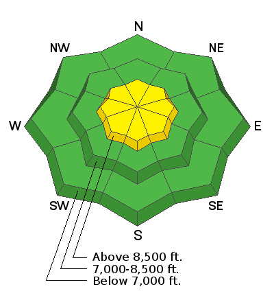
The list of all backcountry observations can be found HERE. Yesterday afternoon, the sun warmed the southerly facing terrain just enough and we went through a natural wet loose avalanche cycle. Many of the avalanches were small and fanned out. However, a couple traveled long distances down chutes and gullies stacking up impressive debris piles.
Ad
Avalanche Problem #1
Wind Drifted Snow
Type
Location
Likelihood
Size
Description
As the northerly winds begin to increase once again, they will find any remnants of soft snow to drift and load onto the lee terrain. The wind may also keep the old stubborn drifts just active enough to the weight of a rider. For today, continue to identify and avoid any of the rounded, smooth or scalloped drifts on steep slopes, especially in unforgiving terrain, such as above cliffs and trees.
General Announcements
This information does not apply to developed ski areas or highways where avalanche control is normally done. This forecast is from the U.S.D.A. Forest Service, which is solely responsible for its content. This forecast describes general avalanche conditions and local variations always occur.