Forecast for the Ogden Area Mountains

Dave Kelly
Issued by Dave Kelly for
Saturday, January 20, 2024
The avalanche danger is CONSIDERABLE at upper and mid-elevation slopes west through southeast and at the lowest elevations northwest through east. The danger is MODERATE on lower and mid-elevation slopes facing west through south and southeast.
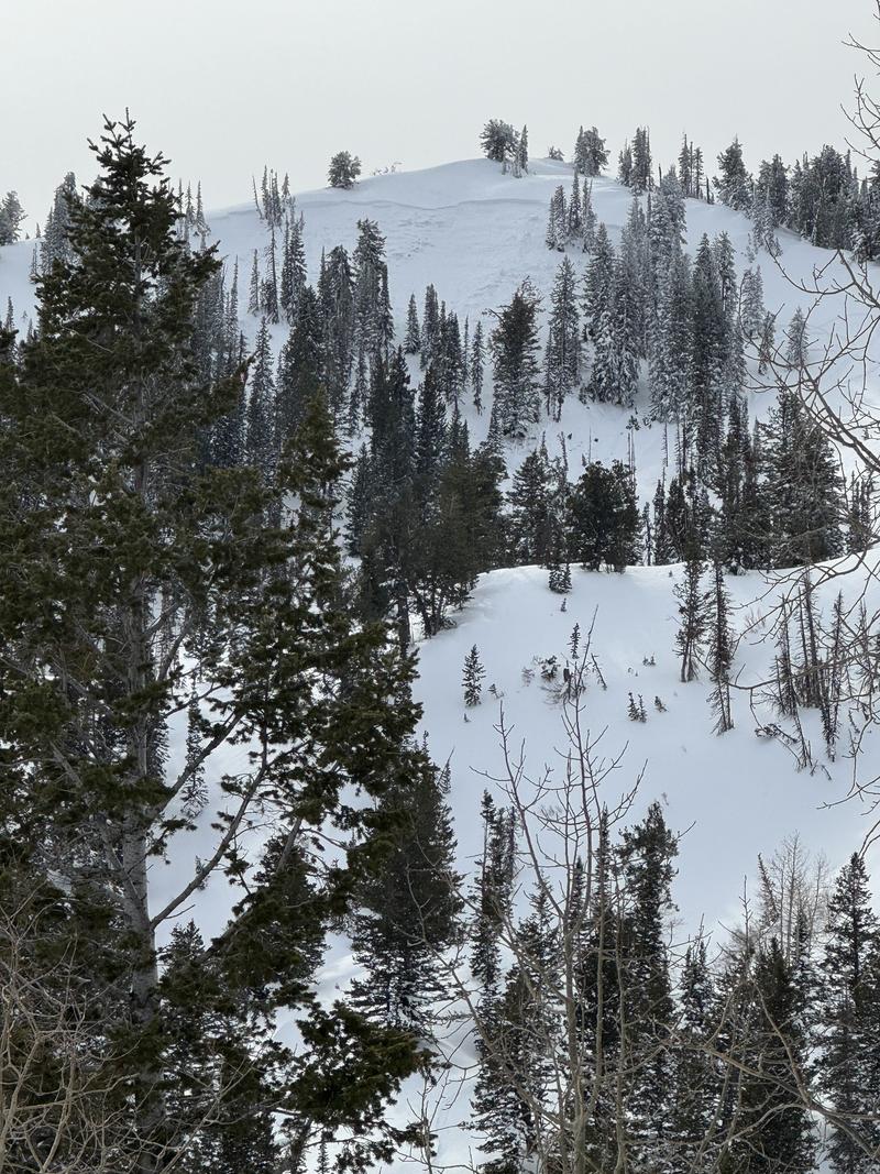
While we are seeing less avalanche activity on the buried persistent weak layer, we are still not seeing no avalanche activity and the chances of triggering one of these large avalanches 3-5' deep and a couple of hundred feet wide is more of a risk than I am willing to take. There is great travel to be had on lower angle (less than 30°) slopes.
Low
Moderate
Considerable
High
Extreme
Learn how to read the forecast here
Weather and Snow
Under partly cloudy skies temperatures are in the high 20's- mid 30's °F. Winds are blowing from the southwest 30 gusting to 35 MPH at the 9,000' ridgelines. There was no new snow overnight and some weather stations at mid elevations are reporting a lack of refreeze (temps have not dropped below 32°F in the last 12-24 hours) which could mean damp surface snow heating up very quickly this morning and lower elevation terrain showing more signs of wet snow activity such as rollerballs and loose-wet avalanches. If you start to sink through the newest snow into faceted snow near the ground then get off of and out from underneath steep slopes.
For today, look for increasing clouds with temperatures 34-39°F and winds blowing from a westerly direction 15 gusting to 20 MPH at the 8,000' ridgelines and 25 gusting to 35 MPH at the 9,000' ridgelines. We are expecting an inch of new snow above 7,000' late this afternoon. Temperatures will be 5-10°F above normal today.

A splitting storm with a southerly track starts to move through late this afternoon. Read the most updated weather discussion from our partners at the National Weather Service HERE.

Our stormy January now has most areas at or above the "median" snow-water for the year.
Recent Avalanches
Yesterday, we had reports of backcountry travelers triggering avalanches in the Sessions, and in Hells Canyon; north of the Snowbasin ski area. These avalanches were all considered destructive force 2 (D2) which is an avalanche that is large enough to bury, injure, or kill a person.
Photo of 3' deep x 400' wide crown face from the Sessions Mountains south of Bountiful Peak (Photo-Meisenheimer)
Be sure to check all the avalanche activity HERE.
Ad
Avalanche Problem #1
Persistent Weak Layer
Type
Location
Likelihood
Size
Description
The persistent weak layer that formed in December is now buried under 3-5' of settled new and wind-drifted snow. The likelihood of triggering an avalanche breaking down to this buried PWL continues to go down with each passing day. Warm temperatures will help, but the bottom line is that humans are still triggering large avalanches on this layer. Any of the two avalanches reported from yesterday (Sessions, Hells Canyon) are large enough to have buried, injured, or killed someone who was caught up in the slide. This information combined with the results being reported from our partners at ski area operations lead me to approach this PWL problem with caution.While the likelihood of triggering one of these avalanches may be trending towards Moderate in many locations, the potential size and distribution of these avalanches means that I will continue to evaluate the snowpack carefully and use cautious route-finding when traveling in the mountains.
Additional Information
Warm temperatures have led to an increase in roof avalanches (or roof-slides) where roofs shed their entire snowpack. A homeowner reported a roof slide from the Ogden Area on Friday. These avalanches can be dangerous. Be aware of children playing, and solo adults shoveling around buildings as these are the people most vulnerable to roof slides.
General Announcements
This information does not apply to developed ski areas or highways where avalanche control is normally done. This forecast is from the U.S.D.A. Forest Service, which is solely responsible for its content. This forecast describes general avalanche conditions and local variations always occur.