Forecast for the Ogden Area Mountains

Dave Kelly
Issued by Dave Kelly for
Sunday, January 21, 2024
The avalanche danger is CONSIDERABLE at upper and mid-elevation slopes west through north through southeast and at the lowest elevations northwest through east. The danger is MODERATE on lower and mid-elevation slopes facing west through south and southeast.
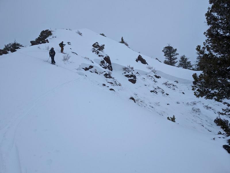
We continue to get reports of human triggered avalanches failing on the buried persistent weak layer. These avalanches are breaking 2-4' deep and a hundred feet wide. Avoid slopes greater than 30° where this buried persistent weak layer is now covered over by new and wind-drifted snow.
Low
Moderate
Considerable
High
Extreme
Learn how to read the forecast here
Weather and Snow
In the last 24 hours mountain locations have received 1-3" of snow/.10"-.20" water with a reported rain line hovering around 7,000'. This morning under overcast skies trailhead temperatures are in the mid 30's °F while the highest ridgelines are in the mid 20's °F. Winds are blowing from a southerly direction 15 gusting to 25 MPH.

For today, we should see overcast skies with temperatures 33-36°F and winds blowing from a south westerly direction 10 gusting to 15 MPH at the 8,000' ridgelines and 15 gusting to 25 MPH at the 9,000' ridgelines. We are expecting 1-2" of new snow above 7,000' throughout the day.
Some weather stations at elevations below 7,000' reported rain yesterday afternoon and just barely dropped below freezing which could mean damp surface snow heating up very quickly this morning and lower elevation terrain showing more signs of wet snow activity such as rollerballs and loose-wet avalanches. If you start to sink through the newest snow into faceted snow near the ground then get off of and out from underneath steep slopes.

Read the most updated weather discussion from our partners at the National Weather Service HERE.
Recent Avalanches
Yesterday, we had reports of avalanches north of Cutler Ridge, and on road cuts in the Monte Cristo Area as well as collapsing and poor structure near Monte Cristo. On Friday we had reports of human triggered avalanches in Hells Canyon, and in the Sessions. Ski areas continue to report avalanches failing on facets; 2-4' deep, 100' wide and running over 500' vertical.
Photo of a 3' deep x 70' wide avalanche that failed on facets north of Cutler Ridge. This avalanche was triggered on the ascent and took out parts of the old skin track on a northeast facing slope at 8,400' (photo J. Antolak).
Be sure to check all the avalanche activity HERE.
Ad
Avalanche Problem #1
Persistent Weak Layer
Type
Location
Likelihood
Size
Description
The persistent weak layer that formed in December is now buried under 2-4' of settled new and wind-drifted snow. The likelihood of triggering an avalanche breaking down to this buried PWL continues to go down with each passing day. Warm temperatures will help, but the bottom line is that humans are still triggering large avalanches on this layer. Any of the human triggered avalanches reported from Friday (Sessions, Hells Canyon) are large enough to have buried, injured, or killed someone who was caught up in the slide.
This information combined with the results being reported from our partners at ski area operations lead me to approach this PWL problem with caution. While the likelihood of triggering one of these avalanches may be trending towards Moderate in many locations, the potential size and distribution of these avalanches means that I will continue to evaluate the snowpack carefully and use cautious route-finding when traveling in the mountains.
Additional Information
Warm temperatures have led to an increase in roof avalanches (or roof-slides) where roofs shed their entire snowpack. UAC staff noted this roof slide in a Little Cottonwood neighborhood on Thursday morning, and a homeowner reported this roof slide from the Ogden Area on Friday, and these slides in Porter Fork were observed on Saturday.
These avalanches can be dangerous. Be aware of children playing, and solo adults shoveling around buildings as these are the people most vulnerable to roof slides.
General Announcements
This information does not apply to developed ski areas or highways where avalanche control is normally done. This forecast is from the U.S.D.A. Forest Service, which is solely responsible for its content. This forecast describes general avalanche conditions and local variations always occur.