Forecast for the Moab Area Mountains

Eric Trenbeath
Issued by Eric Trenbeath for
Sunday, April 3, 2022
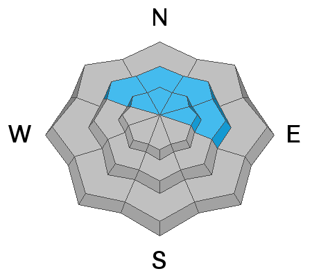
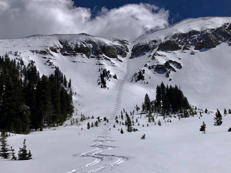
The avalanche danger is generally LOW but the La Sals are a big little mountain range comprised of large, complex, radical terrain. As you set your sights on bigger objectives keep the following in mind:
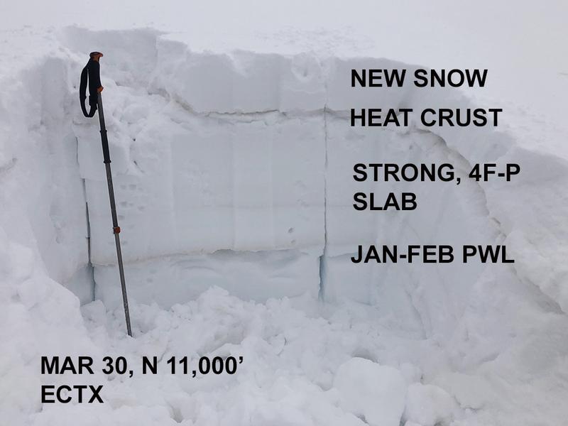
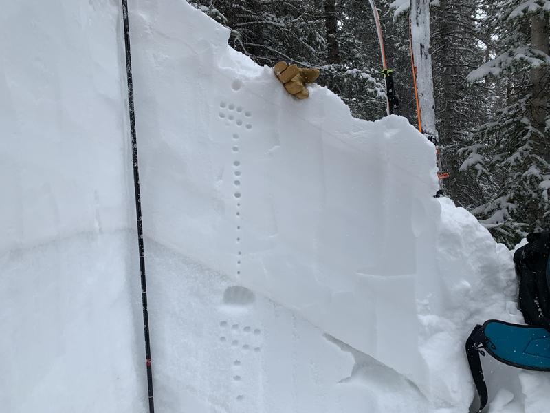
  • A persistent weak layer of faceted snow still exists on northerly aspects. Stability tests indicate that this weak layer is largely non-reactive however, it could still pose a threat in areas of extreme terrain right around treeline.
  • Isolated, unstable wind slabs may still exist in upper elevation, wind exposed terrain. Remain on the lookout for unstable areas of wind drifted snow, especially in consequential terrain.
    Minimize your risk by continuing to observe safe travel techniques. Maintain awareness of terrain and only expose one person to danger at a time.
Low
Moderate
Considerable
High
Extreme
Learn how to read the forecast here
Special Announcements
We'd like to thank our incredible community for your support of the 2022 Spring Campaign. We raised $75,000 in two weeks to help grow our avalanche forecasting program. Thank You!
Road Conditions: The road is a mix of dirt and mud down low and a few inches of snow up high. It gets sloppier as the days warm up. All wheel drive and good tires are recommended.
Grooming: Trails into Gold Basin were groomed on Friday.
Weather and Snow
6:00 a.m. weather data:
24 Hour Snow 0" 72 Hour Snow 1" Base Depth at Gold Basin 54" Wind SW 10-15 Temp 35F
10,000' temperatures did not get below freezing last night but they aren't going to warm up much today either. A cold front sliding southeast down from the northern Rockies will bring mostly cloudy skies to our area today with a very slight chance for snow tonight. High temps will be in the mid to upper 30's, and we'll see light to moderate NW winds. Monday will be sunny and warmer with continued breezy NW winds. The next system on Tuesday will also track well to the north leaving us high and dry through the week. The long range crystal ball shows some action for mid next week.
Snowpack
It's been a good run the last several days with folks slaying soft, settled powder in the alpine while ticking off some larger objectives. The best snow exists below the major ridge lines as the highest peaks sustained a little damage from NW winds mid-week. If you are up high, remain on the lookout for unstable drifts on the leeward sides of terrain features such as sub-ridges or gully walls, especially in consequential terrain where a triggered wind slab, even small, could carry you over a cliff. A strong sun has crusted over most exposed surfaces and you'll have to venture into the deep north for dry snow. Cloud cover today, and the lack of a freeze last night will put a damper on corn conditions.
The Jan-Feb persistent weak layer is still present though stability tests are consistently showing the layer to be non-reactive. I feel safe in saying that it is mostly dormant at this time but you may still be able to find some trouble in steep, complex, featured terrain right around treeline. Stick to open, planar slopes, and remain wary of steep convexities and blind break-overs.
Snow and Weather Links
Gold Basin SNOTEL site (10,000')
Storm Totals in Gold Basin
Wind Station on Pre Laurel Peak (11,700')
Ad
Avalanche Problem #1
Persistent Weak Layer
Type
Location
Likelihood
Size
Description
A persistent weak layer of faceted snow still exists on northerly aspects, with the weakest snow found right around treeline. Stability tests this week have shown that this weak layer has gained strength and is largely non-reactive however, it could still pose a threat in areas of extreme terrain right around treeline. The following photos illustrate our findings from last week:
This pit was dug in the alpine on an open, planar slope. The faceted weak layer was compressed, showed signs of rounding, and had a stiff, strong slab on top. Stability tests produced no results.
This pit was dug on a NE aspect right around treeline. You can see that the over riding slab is also very dense and strong, but the faceted weak layer is thicker, and remains loose and dry. Stability tests also produced no results.
Additional Information
It's been a good run and the La Sals have finally delivered!
General Announcements
Who's up for some free avalanche training? Get a refresher, become better prepared for an upcoming avalanche class, or just boost your skills. Go to https://learn.kbyg.org/ and scroll down to Step 2 for a series of interactive online avalanche courses produced by the UAC.
This forecast is from the U.S.D.A. Forest Service, which is solely responsible for its content. This forecast describes general avalanche conditions and local variations always occur.