Forecast for the Moab Area Mountains

Issued by Eric Trenbeath on
Sunday morning, March 23, 2025
Sunday morning, March 23, 2025
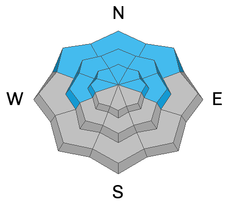
The danger is MODERATE on steep slopes facing W-N-E near and above treeline, and on northerly aspects below. In these areas deep and dangerous, human triggered avalanches failing on a buried persistent weak layer are possible. The danger is greatest on steep slopes near treeline that face N-NE.
A MODERATE danger exists for human triggered avalanches involving old hard slabs of wind drifted snow on steep, northerly aspects above treeline. Look for and avoid, stiff, rounded deposits of wind drifted snow. Triggered wind slabs have the potential to step down deeper into the snowpack causing larger and more dangerous avalanches.
As the day heats up the danger will rise to MODERATE for loose wet avalanches on sun exposed slopes. Signs of instability include rollerballs, pinwheels, and sloppy wet snow. Stay off of and out from under steep slopes when these signs are present.

Low
Moderate
Considerable
High
Extreme
Learn how to read the forecast here
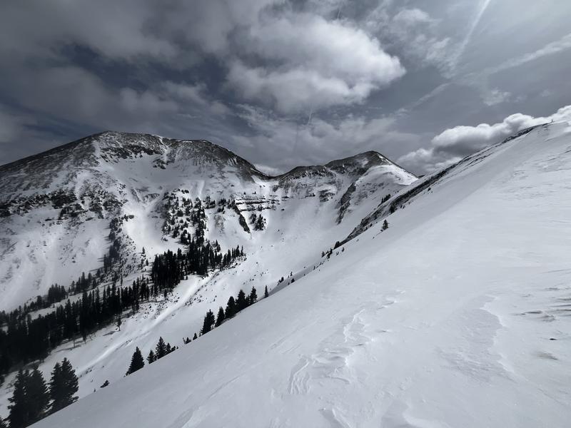
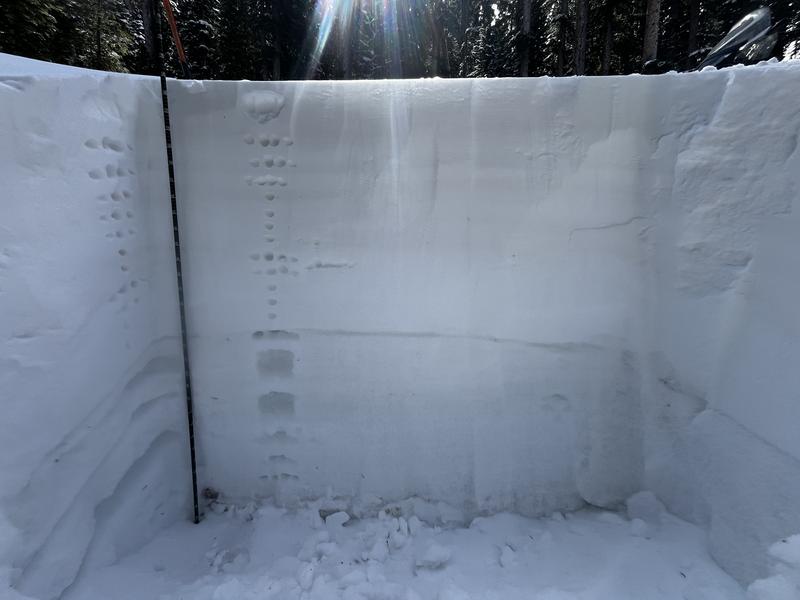
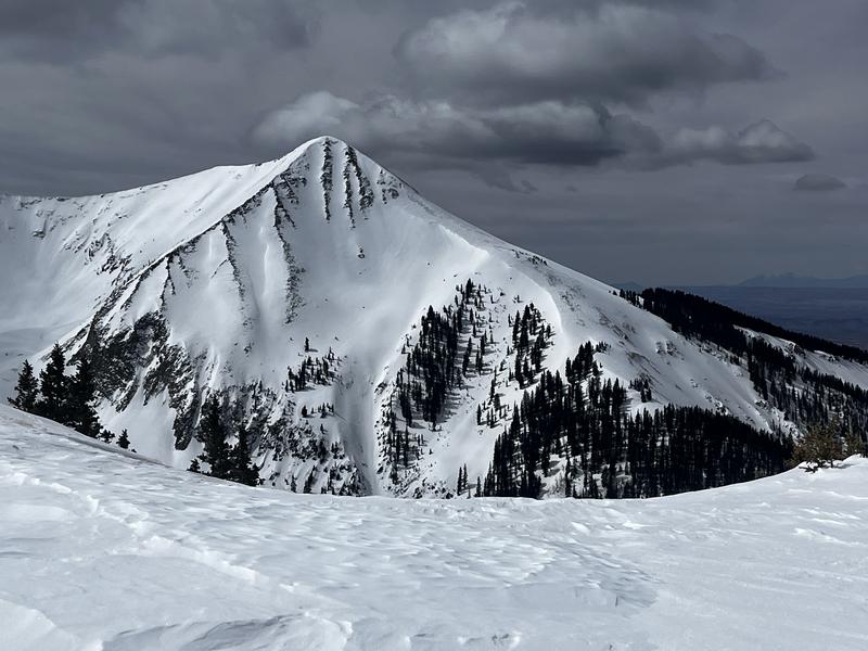 Windward slopes above treeline are scoured while leeward north and easterly aspects are drifted with hard wind slabs. Note the "fat" wind roll on the lookers left chute on the NE face of Mount Tukno (photo above). South and westerly aspects above treeline are scoured down to the rocks on Mount Mellenthin while NE slopes off the Laurel Ridge are heavily wind loaded (photo below).