Join us at our 2nd Annual Blizzard Ball

Forecast for the Moab Area Mountains

Eric Trenbeath
Issued by Eric Trenbeath on
Thursday morning, December 5, 2024
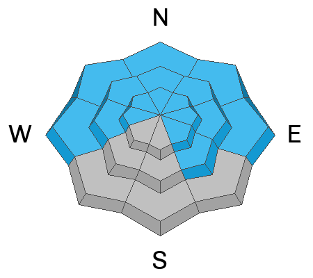
The avalanche danger is MODERATE on steep slopes facing W-N-E at all elevations and on slopes facing SE near treeline and above. Human-triggered avalanches failing on a persistent weak layer remains POSSIBLE.

The danger is LOW on slopes facing SW-S, and on low elevation SE aspects.

Conditions remain thin and rocks, stumps, and dead fall still pose a significant hazard.
Low
Moderate
Considerable
High
Extreme
Learn how to read the forecast here
Special Announcements
We have several events coming up to kick off the winter season:
Thursday, December 5 - FREE Know Before You Go avalanche awareness talk 6 PM at the Grand County Public Library
Saturday, December 7 - 17th Annual Utah Snow and Avalanche Workshop (USAW) - Information and tickets available here.
Saturday, December 14 - 3rd Annual UAC Moab/LUNA Winter Kickoff Party, 6 PM at the MARC. Information and tickets available here.
Geyser Pass Road: The La Sal Loop Road will be closed above Pack Creek Monday-Friday from 8:30 to 5:30 for construction through December 18. Access to the Geyser Pass Winter Trailhead will be from Castle Valley or Sand Flats Road during these hours. Click here for more information.
Weather and Snow
6 A.M. Snow and Weather Data
24 Hour Snow: 0" 72 Hour Snow: 0" Season Total Snow: 44" Depth at Gold Basin: 24"
Winds on Pre-Laurel Peak: SSE 5 mph Temp: 24° F Percent of Normal (SWE): 200%
Weather
The only news is a slight shift in direction from our negligible winds from NE to southerly. Other than that, it's more of the same - sunny skies, light winds, and high temps of around 30° at 10,000'.
General Conditions
As the doldrums of this high pressure drag on it's good to remember that it's only Dec 5, and that we often aren't skiing or riding yet. The skiing is better than you might think with only two feet of dense, settled snow out there. There has been almost no wind to speak of in the mountains and this has preserved the few inches of soft powder on the surface. You can still find fun turning on low-angle northerly aspects. On Tuesday, Dave found good skiing on south facing slopes where sunshine and warm temperatures made for soft, spring-like turns. If you ride slopes that face south and southwest, you can avoid the persistent weak layer problem and still get some fun turns in. Keep in mind, that coverage is still very thin and you need to look out for rocks and other obstacles. If you choose to ride northerly aspects, travel advice is to keep your slope angles below 30 degrees as the persistent weak layer problem will be with us for some time.
Snowpack and Weather Data
Gold Basin SNOTEL site (10,000')
SNOTEL site near Geyser Pass Winter Trailhead (9600')
Wind Station on Pre-Laurel Peak (11,400')
NWS forecast for the La Sal Mountains.
Recent Avalanches
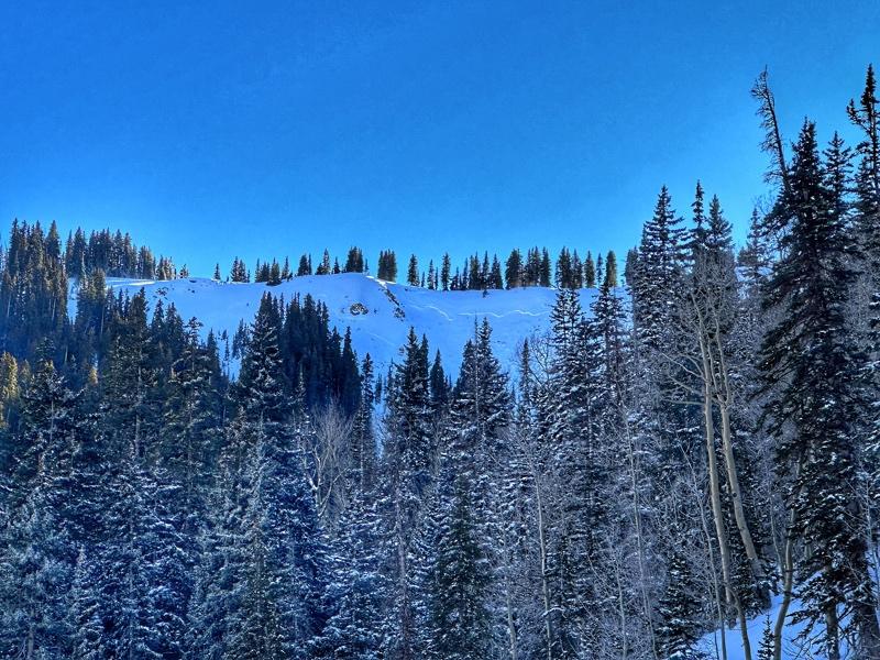
More avalanches from last week's cycle continue to be observed. Aaron Kawcak sent in this report of a significant slide in Miner's Basin. Avalanches such as this can still be triggered by humans. This data is extremely helpful to us and we really appreciate it!
Ad
Avalanche Problem #1
Persistent Weak Layer
Type
Location
Likelihood
Size
Description
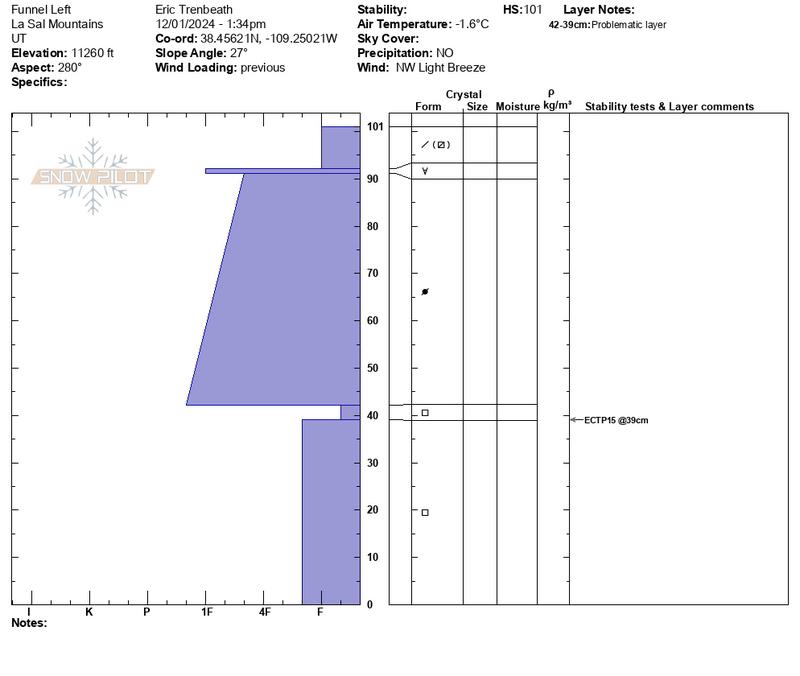
The pre-Thanksgiving storm created all the ingredients necessary for avalanches. Natural activity has ceased because the snowpack has adjusted to the load. However, the weight of a skier or rider can still trigger an avalanche because of the poor snowpack structure that exists on slopes that face W-N-E-SE. Steep slopes at the middle elevation bands have well-connected weak layers and continue to produce the most consistent results in stability tests. These slopes warrant as much caution as upper-elevation slopes.
This avalanche from the Wasatch is a great example of the instability we are currently dealing with. What stands out is that “most of this slope had a couple dozen ski tracks on it.” When persistent weak layers are involved, tracks on a slope do not indicate stability.
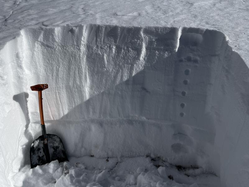
The photo below shows the current setup, with strong snow (the slab) on top of the weak layer.
Additional Information
Sign up for text alerts to get the most up to date information about changing conditions, road plowing, special avalanche announcements.
Follow us on Instagram @utavy_moab
General Announcements
This forecast is from the U.S.D.A. Forest Service, which is solely responsible for its content. This forecast describes general avalanche conditions and local variations always occur.