SAVE THE DATES
Wednesday, December 3 - Don't miss our free Know Before You Go avalanche awareness talk at the Moab Arts and Recreation Center, 111 E 100 N at 5:30 p.m.
Saturday, December 6 - 18th Annual Utah Snow and Avalanche Workshop (USAW). This session will be held in-person at the Wasatch Jr High School Auditorium. 3750 S 3100 E, Salt Lake City, UT 84109. Information and tickets are available here.
Saturday, December 13 - Winter Kick Off Party Bring your skis or board to wax, listen to live music, and bring in another winter season with our local community. Tickets available online now!
The jet stream is currently digging southward across the Great Basin bringing snowfall to the northern mountains. By this afternoon we should start to see snow in our area lasting through around midnight tonight. I'm thinking we might see 6 inches out of this. Look for increasing southwest winds ahead of the system with high temperatures at 10,000' in the low to mid 20's. Tomorrow should be mostly sunny. A second, but less impressive shortwave is scheduled for mid week.
General Conditions
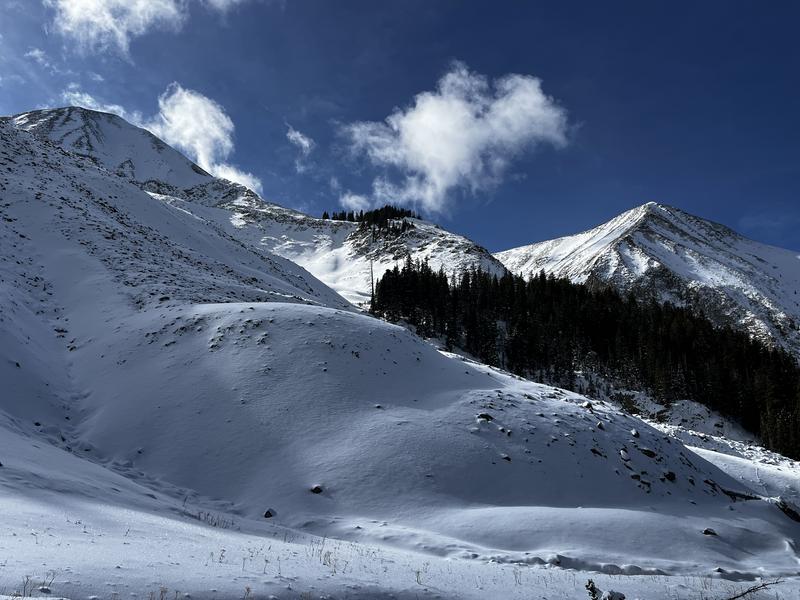
Overall snow cover is thin with about 10 inches on the ground at 10,000' and up to 20 inches as you approach 11,000' and above. It's not enough for off-trail skiing and riding, and 6 inches of new snow, though welcome, won't quite put us in there. Field work performed last week indicated that the pre-existing snow was beginning to facet and weaken, especially near the surface, and I anticipate this will become our future weak layer when we put snow on top.
In the video below, Dave Garcia discusses the state of the snowpack from mid-last week.
Conditions are quite thin as evidenced in the photo below.
Snowpack and Weather Data


