Geyser Pass Road Conditions: The road is not plowed but has seen a lot of traffic. Expect muddy and snowy conditions. 4wd and good tires required.
Saturday, December 5: Join us for the 19th Annual USAW, where Utah’s avalanche community will team up with snow professionals around the West to share avalanche knowledge. Regional avalanche workshops are the most time and cost-effective way to build and refresh advanced avalanche skills. This is your chance to learn from avalanche experts and brush up on your skills before the start of the season. Tickets and information here.
Monday, December 7 6 PM: Know Before You Go. Eric and Dave will give a free avalanche awareness talk at the MARC in Moab. This is a great introduction to snowpack, weather, and avalanches for first-timers or anyone who wants a quick skills refresh.
Saturday, December 12 6-9:30 PM: UAC Moab Winter Kickoff Party at the MARC in Moab. The event will include ski waxing, live music, beer from the Moab Brewery, pizza from Zax, and a chance to win some great prizes in our opportunity drawing.
Saturday, February 6-7: Backcountry 101 Moab: An introduction to avalanches. Spend time in the classroom and on snow with Eric and Dave. Click here for more information and to register.
24 Hour Snow: 0" 72 Hour Snow: 5" Season Total: 34" Depth at Gold Basin: 19" Winds on Pre Laurel Peak: S 25-35
Weather
Winds from the south ramped up over night ahead of the next approaching storm system and are blowing in the 25-35 mph range along ridge tops. Unfortunately, this doesn't look like much of a producer for us and we'll be lucky to squeeze out a few inches of snow. Any chance will come this afternoon. Windy conditions continue overnight with clearing skies sometime after midnight. Wednesday looks sunny and clear with light southerly winds. The next system moves through Thursday night into Friday. It looks to be favoring points north but we should see a chance for a little more snow.
General Conditions
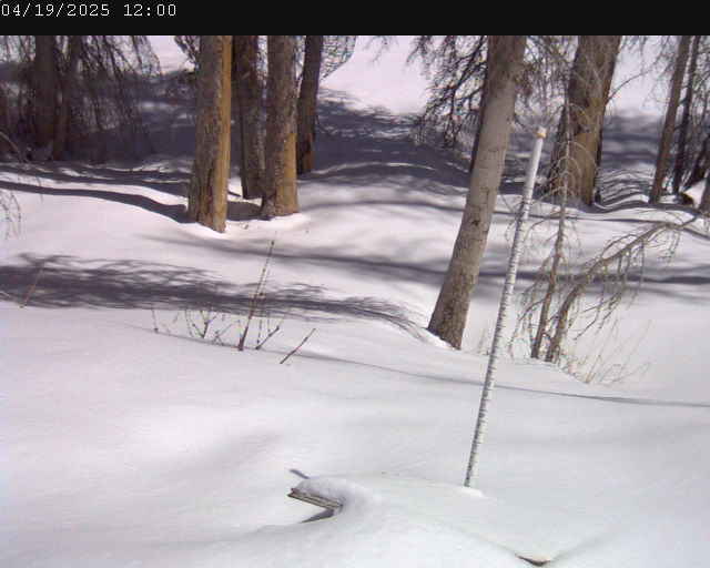
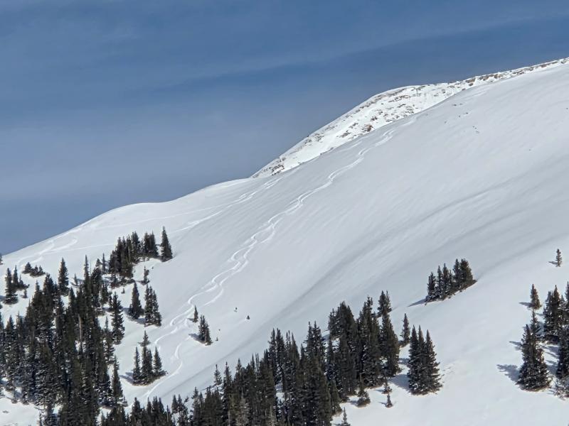
Conditions remain quite thin at lower elevations and you have to be selective in your travels but up high there is plenty of snow to get around on. Snow depths range from about a foot at the Geyser Pass Traihead (9600 feet), to 20 inches at Gold Basin (10,000 feet), and over three feet above 11,000 feet. Sun, warm temperatures, and now wind have affected the snow surface and you'll have to seek sheltered, northerly aspects for the best snow. Jason Ramsdell was up yesterday and sent in this pic. Great coverage up high for this time of year. Slopes like this however will take a hit from the wind today and many south aspects will be back down to the rocks.
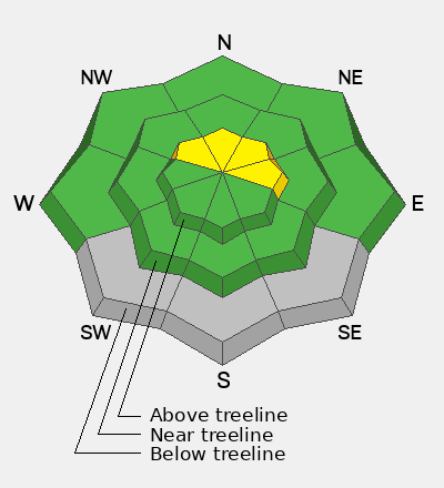
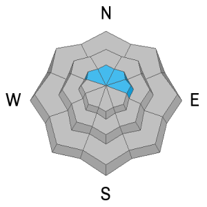
Weekend storm snow totaled 10 inches containing 1.5 inches of Snow Water Equivalent (SWE) but it has not, surprisingly, formed a cohesive slab. It has, however, capped a layer of weak surface facets that formed during the early November dry spell. This weak faceted layer will undoubtedly become a persistent weak layer problem as time goes on and more snow is added on top. Future snow load is not as imminent as I thought when I shot this video on Saturday, but it's worth taking a look at the current set up as this layer isn't going away anytime soon.
Gold Basin Web Cam (10,000')
Gold Basin Weather Station (10,000')
Gold Basin SNOTEL (10,000')
Pre-Laurel Peak Weather Station (11,705')
NWS La Sal Forecast