Check out our Holiday Auction - Sign Up for the Utah Snow and Avalanche Workshop (USAW)

Forecast for the Moab Area Mountains

Dave Garcia
Issued by Dave Garcia on
Tuesday morning, January 2, 2024
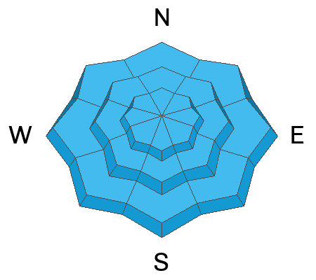
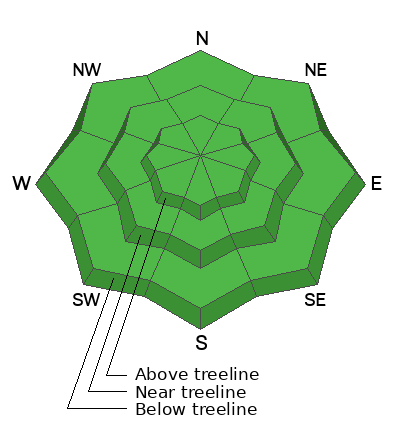
The avalanche danger is LOW. Generally safe avalanche conditions exist. Backcountry travelers should watch for unstable snow on isolated terrain features in extreme terrain above tree line.

The snowpack is still very shallow and rocks, logs, and stumps are a very real hazard right now.
Low
Moderate
Considerable
High
Extreme
Learn how to read the forecast here
Special Announcements
Road Conditions: The road is plowed but the surface remains soft. AWD with good tires are required.
Grooming: Gold Basin was last groomed on Friday. Gavin tuned up the Geyser Pass Road yesterday.
Weather and Snow
6:00 a.m. Snow and Weather Data
24 Hour Snow 0" 72 Hour Snow 0" Season Total Snow 42" Base Depth at Gold Basin 23"
Winds on Pre-Laurel Peak: SW 5 Temp 11˚ F

Weather
Today will be a repeat of yesterday, with sunny skies, high temperatures in the upper 20's, and just the slightest puff of wind from the West at 5 mph. Tomorrow will be mostly sunny as a quick moving low-pressure trough makes its way into the Great Basin. This system will track South of the four corners region Wednesday night into Thursday giving the La Sals a chance for a couple inches of snow on Thursday. The weekend will see a stronger low diving southward from the Pacific Northwest, bringing us colder temperatures and a good chance for snow. This storm is too far out to predict snow totals right now, so stay tuned.
General Conditions
Yesterday in Miner's Basin we found a variety of character building surface conditions. For the most part, the snow surface is severely wind damaged. We found a mix of breakable wind crust, and hard, slick wind crusts while traveling on North and Northwest aspects near treeline. Low angle meadows are still your best bet right now if you are looking to make any turns.
Snowpack and Weather Data
Gold Basin Storm Stake (10,000')
Gold Basin SNOTEL site (10,000')
SNOTEL site near Geyser Pass Winter Trailhead (9600')
Wind Station on Pre-Laurel Peak (11,400')
NWS forecast for the La Sal Mountains.
Check out this video for a snowpack summary looking ahead to this weekend's incoming storm.
Ad
Avalanche Problem #1
Normal Caution
Type
Location
Likelihood
Size
Description
Overall, the avalanche danger is LOW, and backcountry travelers should exercise normal caution. Avalanches are unlikely, but they are not impossible. In isolated areas, such as steep, thin, rocky terrain above tree line, you may encounter avalanches involving old, hard slabs of wind-drifted snow sitting on top of weak sugary faceted snow. Always use safe travel protocols in the backcountry, which means:
  • Carry a beacon, shovel, probe, and know how to use it
  • Only expose one person at a time to avalanche terrain
  • Keep eyes on your partners at all times
Additional Information
To fulfill our mission, the UAC relies on our amazing backcountry community. Your support helps pay for the daily avalanche forecast, free awareness presentations across the state, and new tools like the new Avalanche and Observation Explorer. As we welcome the new year, please consider donating to the UAC.
General Announcements
This forecast is from the U.S.D.A. Forest Service, which is solely responsible for its content. This forecast describes general avalanche conditions and local variations always occur.