Our 22nd annual Pray 4 Snow fundraiser-party was a huge success thanks to you....
The Tony Grove Snotel at 8400' reports 3 inches of new snow this morning and 18 inches of total snow, and it's 23° F. A wind from the west picked up again overnight, and this morning, it's blowing 25 to 45 mph on Logan Peak and 25 to 40 mph from the southwest on Paris Peak. Temperatures range from 15° F on Paris Peak to 33° F down here in West Logan.
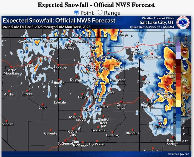
The National Weather Service has issued a Winter Storm Warning for the northern mountains, including the Logan Zone, through early Sunday morning. *This from this morning's NWS forecast discussion: "A significant winter storm will impact northern and central Utah through Sunday morning. The potential for unsettled weather continues through the middle of the upcoming week."
In the Logan Zone: Expect snow in the mountains today, heavy at times, with 5 to 9 inches of accumulation possible on upper elevation slopes. High temperatures at 9000' will be near 28° F. Winds out of the west will blow 10 to 14 mph. Tonight, the snow could be heavy at times, and we can expect widespread blowing snow, with 9 to 13 inches of accumulation possible. The temperature will rise to around 29° F by 5 am. It will be quite breezy, with winds from the west-southwest 20 to 24 mph, and gusts as high as 46 mph.
This storm will significantly elevate avalanche danger in the backcountry, and dangerous conditions are likely to develop this weekend.
No avalanches have been reported recently in the Logan Zone. For observations and avalanche activity, go
HERE