Forecast for the Logan Area Mountains

Toby Weed
Issued by Toby Weed on
Wednesday morning, November 4, 2026

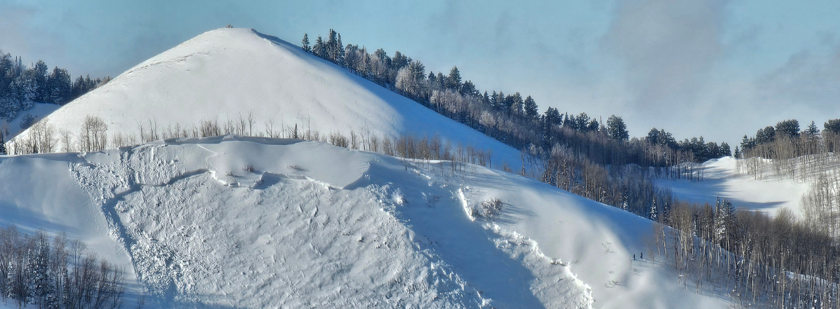
Despite the nice October storms with copious moisture, mountain temperatures have just been too warm for much snow to accumulate in the Bear River Range, even at the highest elevations. Currently, there is only a few inches of heavy snow on the rocky ground above about 8500' in elevation.

We'll start posting forecasts once conditions warrant. Until then, pull out your avalanche rescue gear and run a quick check to make sure everything's in working order.
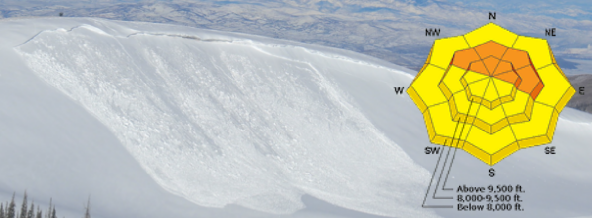
Low
Moderate
Considerable
High
Extreme
Learn how to read the forecast here
Weather and Snow

Counter-intuitively, lack of snow is good news because shallow early season snow subjected to cold November temperatures often becomes a problem weak layer.

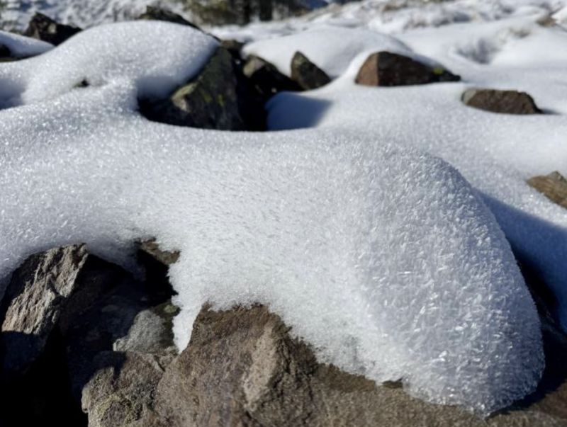
The surface of this shallow sugary snow on the rocks at upper elevations in the Ogden Mountains, is decorated by feathery surface hoar crystals that could become a future persistent weak layer. In the Logan Zone, there is only a few inches of shallow snow on the ground above about 8000' in elevation, which is likely to melt off of sunny slopes in the next few days.

General Announcements

This forecast is from the U.S.D.A. Forest Service, which is solely responsible for its content. This forecast describes general avalanche conditions, and local variations always occur.