The final UAC report for the Upper Weber Canyon avalanche accident on March 9 has been published and is available
HERE. The UAC would like to thank Park City Powder Cats for sharing information about the timeline of the accident and allowing UAC staff access to the avalanche after the incident.
Temperatures stayed above freezing overnight at most stations, preventing a good refreeze of the saturated snow. Cooler temperatures and clouds should slow the melt and reduce the danger of wet avalanches. Low elevation snow is rapidly melting, but there is still a ton of snow holding out in the forests and on northerly facing slopes this spring. The danger of wet loose avalanches is much less with the cooler temps, but the saturated loose snow under the superficial refreeze could still be unstable, so wet slabs and glide avalanches are still possible.
The 8400' Tony Grove Snotel reports 32° F and 129" of total snow. At the 9700' CSI Logan Peak weather station, it's 28° F and the wind is blowing from the west-southwest around 15 mph.
Here is the NWS point forecast (36 hrs) for Upper Elevations in the Central Bear River Range:
Today: Snow showers, mainly before noon. Steady temperature around 22. Wind chill values as low as 4. West wind 16 to 20 mph. Chance of precipitation is 90%. Total daytime snow accumulation of 2 to 4 inches possible.
Tonight: Mostly cloudy, with a low around 15. Wind chill values as low as 3. West northwest wind 12 to 17 mph becoming north 6 to 11 mph after midnight.
Friday: A 40 percent chance of snow showers, mainly after noon. Partly sunny, with a high near 30. Wind chill values as low as 10. East northeast wind 6 to 14 mph becoming west in the afternoon. New snow accumulation of less than a half inch possible.
Clouds and showers will cool things down for a couple days, then skies will clear, the sun will be out, and temperatures will be on the rise again this weekend.
- Yesterday, ID Hwy 36 was closed due to a mudslide in the Mink Creek area. Also apparently, a couple natural small wet loose avalanches slid a little ways onto the road near Strawberry, west of Emigrant Summit. But the highway is not closed because of avalanches...
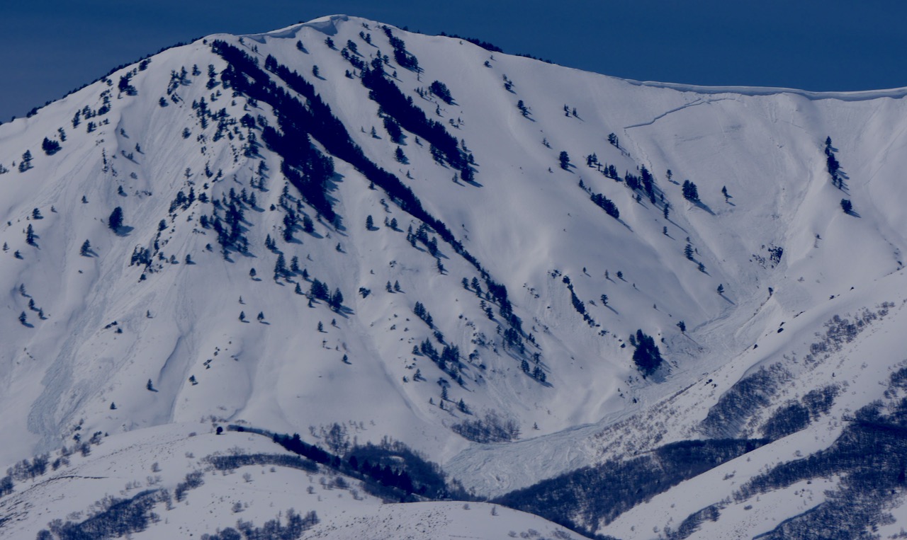
- Widespread natural wet avalanches occurred earlier this week in the Wellsville Range. Large natural cornice falls and loose avalanches triggered long running and dangerously large wet slabs. I was quite relieved to see no cars parked at the Rattlesnake TH Sunday, after seeing the huge debris pile from a massive natural avalanche that came off the north ridge of Mitton Peak....HERE
A recent large natural avalanche triggered by a cornice fall in the Wellsvilles. Rattlesnake Canyon, N Ridge of Mitton Pk, 4-9-23
- For a list of recent avalanches in the Logan Zone go HERE.
- There was tons of recent natural wet avalanche activity in the mountains of Northern Utah. Find a list of all recent observations & avalanches from across Utah go HERE.


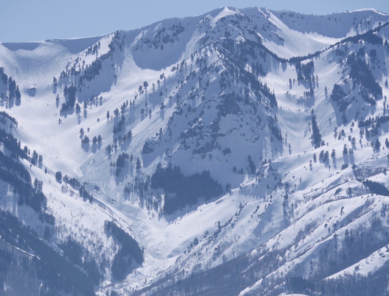 Significant fresh natural wet avalanche activity was visible Tuesday afternoon in Pine Canyon in the Wellsville Mountain Wilderness. (4-11-23)


